Catalog Archive
Auction 181, Lot 278

"The Tourist's Pocket Map of South Carolina Exhibiting Its Internal Improvements Roads Distances &c.", Mitchell, Samuel Augustus

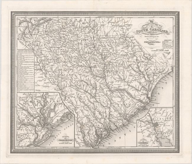
Subject: South Carolina

Period: 1836 (dated)

Publication:

Color: Black & White

Size:
15.2 x 12.8 inches
38.6 x 32.5 cm
Download High Resolution Image
(or just click on image to launch the Zoom viewer)

This rare version of Mitchell's pocket map of South Carolina is uncolored and was issued in the 1836 bound quarto volume of the Philadelphia Mirror. The map itself is very detailed and shows roads, canals and early railroads. There are insets of Charleston and Columbia at lower left and right with an index of stage routes at left. Surrounded by a keyboard style border.

References:

Condition: A

A crisp impression issued folding, now flat, with a short archivally repaired fold separation in the top blank margin.

Estimate: $400 - $500

Sold for: $300

Closed on 2/10/2021

Archived