Catalog Archive
Auction 181, Lot 182

One of the Earliest Maps to Name Wyoming Territory

"Map of Kansas, Nebraska and Colorado. Showing Also the Southern Portion of Dacotah", Mitchell, Samuel Augustus

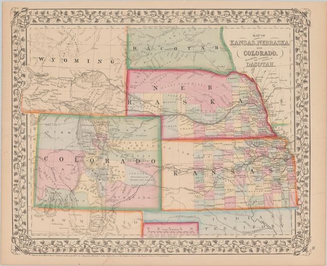
Subject: Central United States, Wyoming

Period: 1867 (dated)

Publication:

Color: Hand Color

Size:
14.3 x 11.7 inches
36.3 x 29.7 cm
Download High Resolution Image
(or just click on image to launch the Zoom viewer)

This map of the central Great Plains region depicts counties, cities, towns, transportation routes, Indian reservations, and topographical features. While not noted in the title, this is one of the earliest maps to show and name the new Territory of Wyoming, here shown with an irregular and poorly defined western boundary. In Kansas, county development stops just to the east of Ft. Monument, and in Nebraska the northern portion is unorganized and labelled "Great Sand Hills." In Colorado the Gold Region is noted adjacent to Denver City.

References:

Condition: A

Near fine.

Estimate: $200 - $250

Sold for: $120

Closed on 2/10/2021

Archived