Catalog Archive
Auction 181, Lot 149

Features the Republic of Texas in its Smaller Configuration

"United States & Texas. With All the Railways & Canals", Lizars, William Home

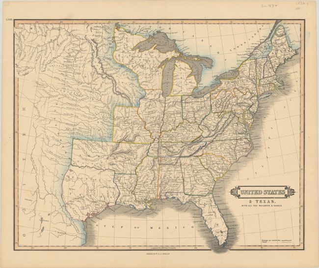
Subject: Eastern United States, Texas

Period: 1840 (published)

Publication: Edinburgh Geographical General Atlas

Color: Hand Color

Size:
20.4 x 16.5 inches
51.8 x 41.9 cm
Download High Resolution Image
(or just click on image to launch the Zoom viewer)

The Republic of Texas is a prominent feature of this interesting map of the growing United States. The map extends west to about the 109th meridian where the headwaters of the Missouri are illustrated. The new state of Missouri is shown with a straight western border. The large Arkansas Territory takes in most of present-day Oklahoma. Northwest Territory includes Wisconsin and much of Minnesota. The Great Desert takes in the central plains and is occupied by a number of Indian nations. The Republic of Texas is shown in a small format with the southern boundary with Mexico formed by a dotted line between the Nueces and Rio Grande rivers.

References: Phillips (Atlases) #782-63.

Condition: A

On a clean bright sheet with a couple of short edge tears confined to the bottom blank margin.

Estimate: $800 - $950

Sold for: $1,500

Closed on 2/10/2021

Archived