Subject: References, Persia
Period: 2005-2010 (published)
Publication:
Color: Printed Color
Size:
11.3 x 15 inches
28.7 x 38.1 cm
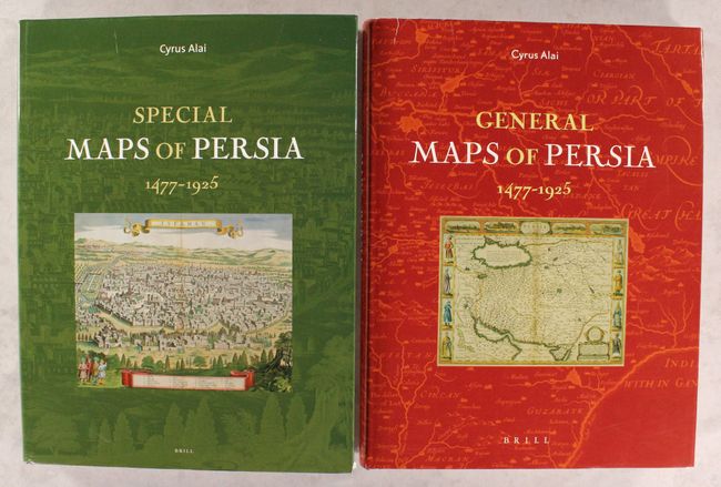
Two decades in the making, Dr. Cyrus Alai's comprehensive reference and its sequel are the first published studies on maps of Persia/Iran. The first book, General Maps, opens with a brief introduction and is then divided into two main sections: Ptolemaic maps and general and regional maps of Persia. The book covers 415 maps with 199 illustrated plates, most in color. As Tony Campbell says in the foreword, "Whether you are an interested amateur, a cartographic historian or a librarian, you can be assured that you will have seen nothing like this book before." Published five years later, Special Maps features an additional 761 maps, divided into 9 chapters: Historical Maps; District Maps; Caspian Sea and Its Persian Shores; Persian Gulf, Persian Shores and Islands; Frontier Maps; Route Maps; Town Maps, Historical Sites; Political, Transport/Communication, and Tribal Maps; and Natural-Topographical and Geological Maps. The volume is illustrated with 409 plates. Volume 80 and Volume 99 of the Handbook of Oriental Studies series. Published by Brill. Both volumes are hardbound with an illustrated cover and dust jacket. General Maps, 317 pages; Special Maps, 466 pages.
References:
Condition: A
Contents are near fine in both volumes, with just a short tear on the last page of <i>Special Maps.</i> Covers are slightly bumped. Dust jackets have a few short tears and minor shelf wear.