Catalog Archive
Auction 180, Lot 816

NO RESERVE

"[Portfolio] A Description of the Country - Virginia's Cartographers and Their Maps 1607-1881",

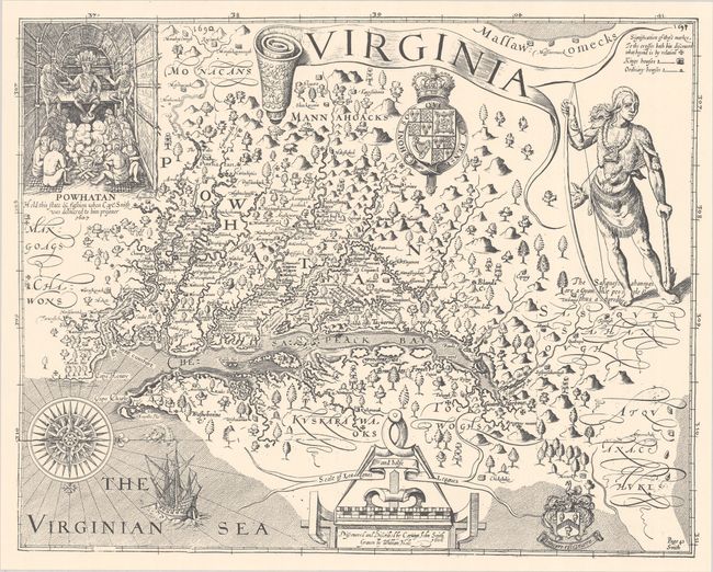
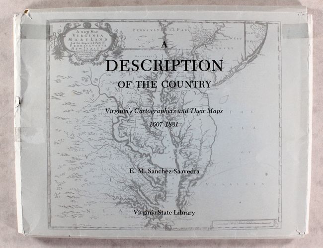
Subject: References, Virginia

Period: 1975 (published)

Publication:

Color: Printed Color

Size:
14.6 x 11.3 inches
37.1 x 28.7 cm
Download High Resolution Image
(or just click on image to launch the Zoom viewer)

This portfolio of facsimile maps focuses on the cartographic history of Virginia. Published by the Virginia State Library, it includes facsimile reproductions of 9 maps on 20 sheets, 5 of which are in color. Among the maps are Captain John Smith's Virginia, the Fry-Jefferson map of 1775, and Captain Peter S. Michie's startlingly accurate manuscript survey of Richmond. The maps are contained in a paper portfolio with an illustrated cover. This lot does not include the accompanying book of essays by E.M. Sanchez-Saavedra.

References:

Condition: B+

The facsimile maps are in very good condition. There are several tears on the paper case, with tape partially holding the portfolio together.

Estimate: $80 - $110

Sold for: $120

Closed on 11/18/2020

Archived