Catalog Archive
Auction 180, Lot 708

"La Costa di Barbaria Fra Capo di Tenes e Capo di Rosa", Levanto, Francesco Maria

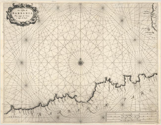
Subject: Northern Africa

Period: 1664 (circa)

Publication: Prima Parte dello Specchio del Mare…

Color: Black & White

Size:
20.3 x 15.7 inches
51.6 x 39.9 cm
Download High Resolution Image
(or just click on image to launch the Zoom viewer)

This sea chart of the Barbary Coast was based on Pieter Goos' work in his Nieuwe Groote Zee-Spiegel. The coastline extends from Tenes in the west to Bona (Annaba) in the east, and includes part of Sardinia. The map is adorned with a decorative title cartouche and compass rose.

References: Shirley (BL Atlases) M.LEV-1a #6.

Condition: B+

On a bright sheet with light printer's ink residue and several worm holes along the centerfold that have been archivally repaired on verso. The top and bottom margins have been extended with archival materials, though the paper at top is beginning to detach.

Estimate: $240 - $300

Sold for: $180

Closed on 11/18/2020

Archived