Subject: Southern Greece
Period: 1687 (published)
Publication:
Color: Black & White
Size:
9.9 x 14.9 inches
25.1 x 37.8 cm
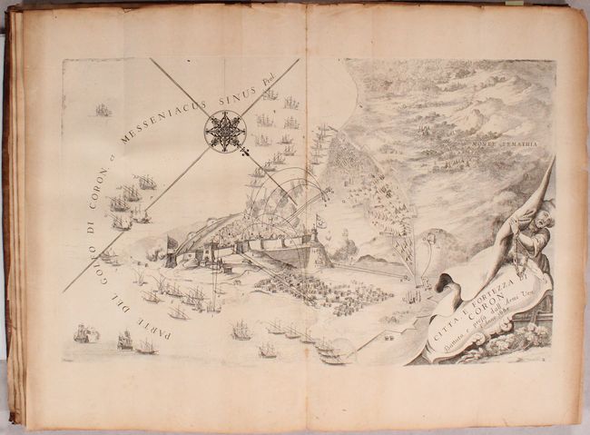
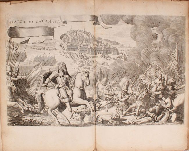
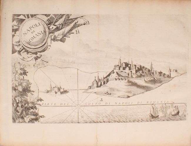
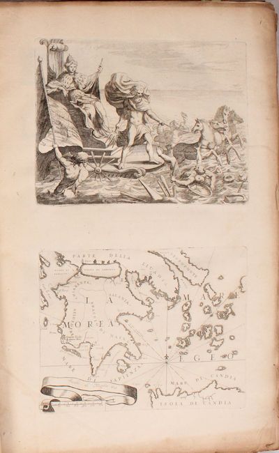
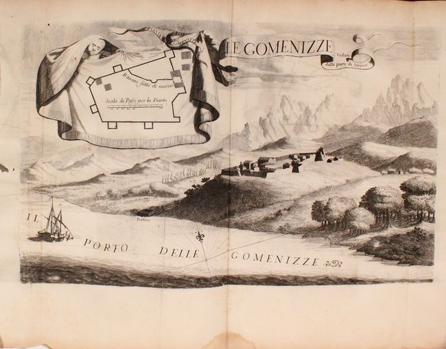
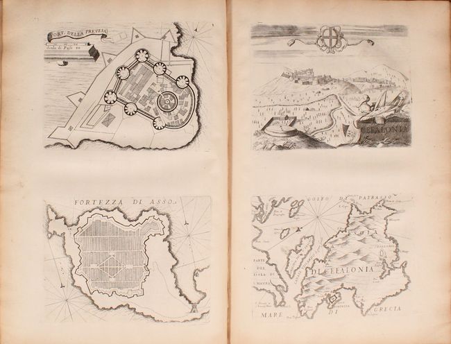
This fascinating volume is focused on southern Greece and depicts many of the locations involved in the Morean War, which was part of the wider conflict in the Great Turkish War between the Republic of Venice and the Ottoman Empire. Contents include 24 large folding maps, plans, and views (approximately 17 x 11") and 20 sheets containing 37 additional engravings, mostly two to a page. The list of folding plates includes:
Patrasso olim Neopatria
Naurino Citta F Fortezza Della Morea
Citta, e Fortezza di Coron...
Coron
Citta, e Fort di Coron Assediata, e Presa Dalla Sereniss Repub...
[Untitled Battle View]
Piazza Di Calamata
La Battaglia Sotto Calamata
Zarnata
Fort Di Chielafa
Passaua
Napoli di Romania
Veduta Della Fortezza Vecchia Di Corfu Verso Ostro
Della Preuesa, e Santa Fortezze Maura
Santa Maura
Fort Di S. Maura
Fortezza Della Preuesa
Disegno Topografico De Luoghi Dell Acarnania....
Le Gomenizze
Le Gomenizze Vedute Dalla Parte di Sirocco
Cerigo
Chnin Fortezza nella Dalmatia...
Pianta Della Citta, et Fortezza di Castel Nuovo...
Published by Nicolas Langlois. 123 pages. Hardbound in full contemporary leather with raised bands and gilt tilting on spine.
References:
Condition: B+
The maps and plates are very good with light toning along sheet edges and occasional foxing. The hinges have nearly separated, and the covers are heavily worn and abraded. The spine has some minor cracks with a repair at the tail.