Catalog Archive
Auction 180, Lot 469

"The Sea Coasts of France from Olone to Cape Machiacaca in Biscay", Mount & Page

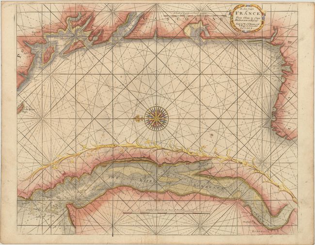
Subject: Western France

Period: 1729 (circa)

Publication: The English Pilot

Color: Hand Color

Size:
21 x 17.3 inches
53.3 x 43.9 cm
Download High Resolution Image
(or just click on image to launch the Zoom viewer)

This handsome sea chart covers the Bay of Biscay, extending from northwestern Spain near Bayonne north to La Rochelle. It features good coastal detail with soundings and anchorages noted along with the street grids of the larger towns. Includes a large decorative inset of the Bordeaux River at bottom with excellent navigational details. Adorned by a decorative title cartouche, compass rose with fleur-de-lis, and rhumb lines in the water.

References: Shirley (BL Atlases) M.M&P-1b #16.

Condition: B+

There is minor soiling and a hint of offsetting.

Estimate: $300 - $375

Sold for: $220

Closed on 11/18/2020

Archived