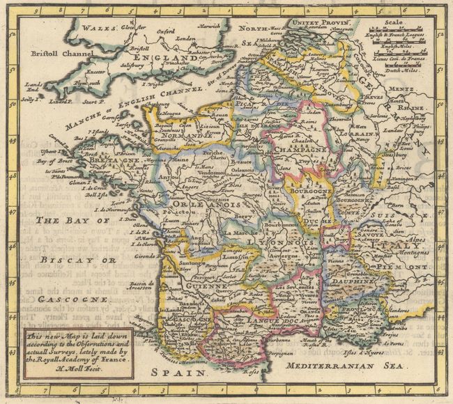
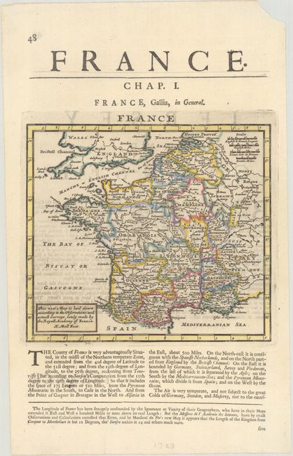
Subject: France
Period: 1695 (circa)
Publication:
Color: Hand Color
Size:
7.5 x 6.6 inches
19.1 x 16.8 cm
An attractive map of France based upon "the observations and actual surveys, lately made by the Royall Academy of France." The map is filled with place names, lakes, rivers, and tiny pictorial mountains and forests in Moll's distinctive style. On a full sheet of English text measuring 8.5 x 13.8". The map appears in several different Moll publications and was likely issued in either Thesaurus Geographicus or A System of Geography.
References: Shirley (BL Atlases) T.MOLL-1a #7.
Condition: A
A crisp impression on a clean sheet with some faint text show-through from verso. There is a small chip in the top right sheet corner far from the map image.