Catalog Archive
Auction 180, Lot 265

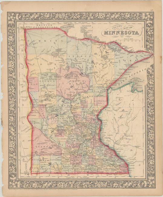
"County Map of Minnesota", Mitchell, Samuel Augustus
Subject: Minnesota

Period: 1862 (dated)

Publication:

Color: Hand Color

Size:
11.6 x 13.9 inches
29.5 x 35.3 cm
Download High Resolution Image
(or just click on image to launch the Zoom viewer)

This detailed map locates counties, towns and cities, roads, Indian agencies, rivers, lakes, and railroads both proposed and operational. County configuration is up to date for 1863. There are brief notes on the rivers and geography dispersed throughout, such as Dividing Ridge between the Water's flowing into the Hudson's Bay and Highest point reached by Steamboat in 1858. The map is surrounded by a lovely floral border. Drawn and engraved by W.H. Gamble.

References:

Condition: B+

Original color on a lightly toned sheet with a few small chips along the left edge of the sheet.

Estimate: $40 - $50

Sold for: $40

Closed on 11/18/2020

Archived