Subject: Honolulu, Hawaii
Period: 1901 (circa)
Publication:
Color: Black & White
This lot contains three early GLO maps of Honolulu shortly after annexation of Hawaii:
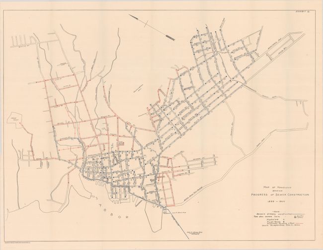
A. Map of Honolulu Showing Progress of Sewer Construction 1899-1900 (27.9 x 20.8"). To stem the spread of bubonic plague in Chinatown, the government in 1900 started controlled fires of the buildings where the victims lived. One fire went out of control and burned most of Chinatown (the area between the harbor and Bretania Ave on the first map). The lack of infrastructure, including basic plumbing, in the densely populated Chinatown had permitted the spread of the plague. This map documents the extensive amount of work completed on a sewer system in 1899 and 1900 and plans to extend the system. One researcher wrote that “…an excellent indication of urban sprawl can be gained [from this map].” [Source: James C. Mohr, Plague and Fire: Battling Black Plague Death and the 1900 Burning of Honolulu’s Chinatown. Oxford: Oxford University Press, p. 209.]
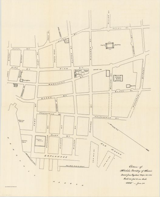
B. Portion of Honolulu, Territory of Hawaii. Traced from Registered Maps 1667 & 1801..., dated 1900 (13.6 x 16.8"). Shows the downtown area on the harbor east of Chinatown. Locates the Judiciary Building, Post Office, wharves, and more.
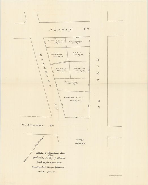
C. Alaska and Merchant Streets East. Honolulu, Territory of Hawaii..., dated 1900 (9.5 x 13.7"). Shows land ownership on one square block adjacent to Union Square.
References:
Condition: A+
Fine examples, issued folding.