Catalog Archive
Auction 180, Lot 221

"Automobile Road Map from Mono Lake to Lake Tahoe and Feather River Region Showing Resorts, Camp Sites, Fishing Streams, Lakes, Mtn. Peaks and Trails", Automobile Club of Southern California

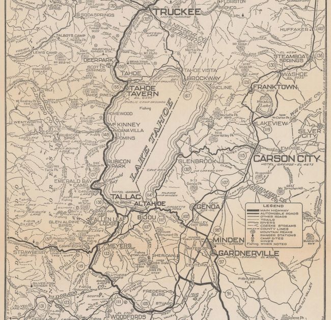
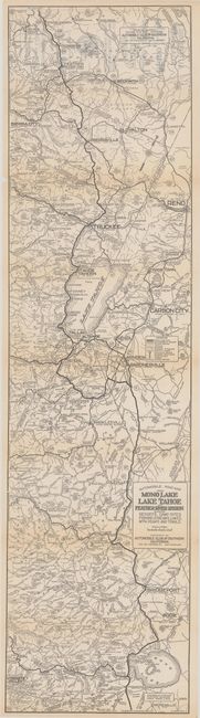
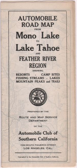
Subject: Northern California, Lake Tahoe

Period: 1920 (circa)

Publication:

Color: Black & White

Size:
8.8 x 33.4 inches
22.4 x 84.8 cm
Download High Resolution Image
(or just click on image to launch the Zoom viewer)

This detailed map extends from Yosemite and Mono Lake north to Lake Tahoe and Reno, emphasizing the evolving road network. The legend identifies useful information to both the traveler and tourist including highways, automobile roads, "other" roads, trails, campsites, mines, and fishing areas. The figures in circles represent mileage from Mono Lake. Self-folding (4.3 x 9.3").

References:

Condition: B+

Issued folding with a 4" separation along an upper fold and a 2" edge tear at lower left that have both been closed on verso with archival tape. There is light toning along the fold lines and an extraneous crease at lower left.

Estimate: $300 - $375

Sold for: $150

Closed on 11/18/2020

Archived