Subject: Phoenix, Arizona
Period: 1943-60 (dated)
Publication:
Color:
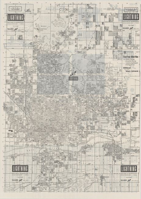
Three pocket maps showing the rapid growth of the Phoenix area (from 110,000 in 1943 to 433,000 in 1960):
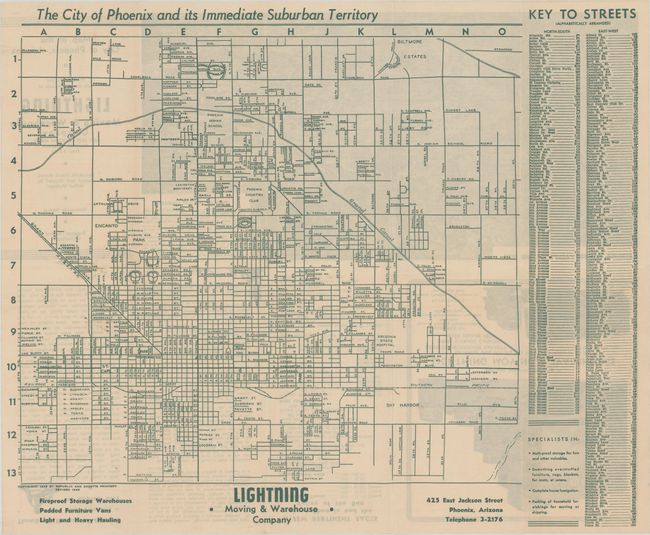
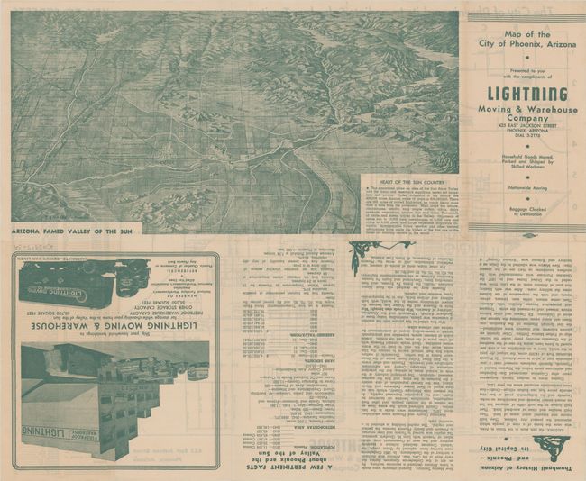
A. The City of Phoenix and Its Immediate Suburban Territory, by Republic and Gazette Printery, dated 1943, printed color (13.4 x 12.0"). A detailed street map of the growing city locating Sky Harbor Airport, Biltmore Estates, and Phoenix Country Club. Includes a street index at right. The verso features an attractive bird’s-eye view (12.7 x 6.5") of Arizona Famed Valley of the Sun by T.A. Hayden. Self-folding (3.7 x 7.0"). Condition: (A)
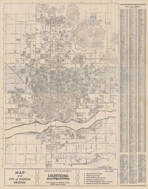
B. Map of the City of Phoenix Arizona, by McGrew Commercial Printery, dated 1952, black & white (15.0 x 21.1"). A very detailed map of the city that extends south beyond the Salt River with limited development. Includes a key to streets at right. The verso contains an "Area Map of the Heart of Sun Country” and text. Self-folding (4.7x 8.1"). Condition: (A)
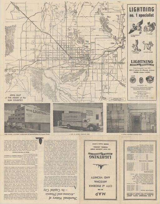
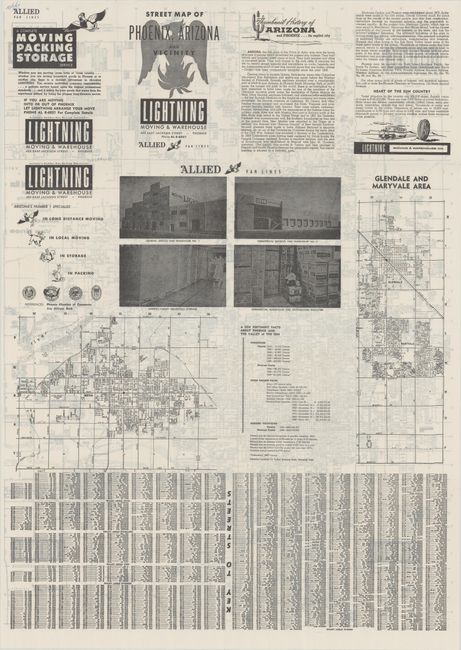
C. Street Map of Phoenix, Arizona and Vicinity, by McGrew Commercial Printery, dated 1960, black & white (29.9 x 21.5"). A large and detailed map of Phoenix with growth extending north to Moon and Paradise Valleys and south to beyond the Salt River. The verso contains smaller maps of the suburbs of Mesa and Glendale, a street index, photos of the facilities of Allied Van Lines, and text on the history of Phoenix. Self-folding (5.5 x 7.8"). Condition: (A+)
References:
Condition:
Clean examples, issued folding.