Catalog Archive
Auction 180, Lot 207

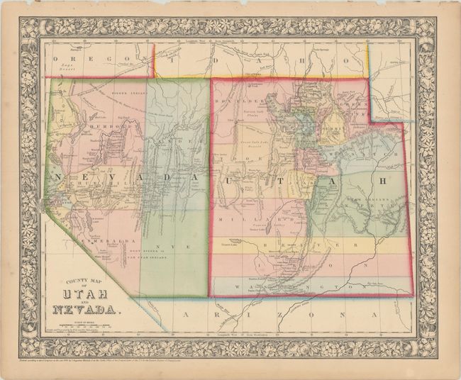
"County Map of Utah and Nevada", Mitchell, Samuel Augustus
Subject: Southwestern United States

Period: 1865 (dated)

Publication:

Color: Hand Color

Size:
14.1 x 11.4 inches
35.8 x 29 cm
Download High Resolution Image
(or just click on image to launch the Zoom viewer)

This is a great map published at the end of the Civil War. The map shows Nevada when its southern tip was part of Arizona Territory and with its border with Utah at 115°. It delineates seven counties in Nevada and fifteen in Utah. Surrounded by Mitchell's signature floral border.

References:

Condition: B+

Original color on a lightly toned sheet with a few small chips along the top edge of the sheet.

Estimate: $70 - $90

Sold for: $30

Closed on 11/18/2020

Archived