Subject: Colonial Central United States, River Longue
Period: 1728 (published)
Publication:
Color: Black & White
Size:
4 x 6.5 inches
10.2 x 16.5 cm
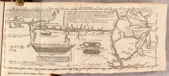
Louis Armand, Baron de Lahontan, served ten years in the French military in Canada, was involved in the Indian Wars, and commanded several posts in the west. He traveled extensively in the Wisconsin and Minnesota region and the upper Mississippi valley. Upon his return to Europe he wrote this enormously popular travelogue. In it he embellished his knowledge of the geography of the Great Lakes region, invented Indian tribe names, and created several fictions, particularly the "River Longe" extending from the Mississippi River to the Rocky Mountains. Over twenty editions of his book were published between 1703 and 1741, including editions in French, English, Dutch and German. The immense popularity of the book resulted in his distorted cartography being accepted by several eminent cartographers who incorporated the "Lahontan" concepts into most of the maps of the 18th century. This is the first volume of three, the second 1728 edition, and is printed in French.
This volume includes the important folding map Carte que les Gnacsitares ont Dessine... / Carte de la Riviere Longue et de Quelque Autres… It is one of the most influential, and fanciful, maps in American cartographic history. It purports to show the Riviere Longue flowing from the mountains in the west, home to the Gnacsitares Indians, and connecting to the Mississippi River. On the western side of the mountains is another river, presumably flowing into the Pacific. Lahontan's concept was copied by virtually all 18th century cartographers including Moll, Senex, Popple, and Delisle, thus perpetuating the myth presented by this small (11.5" x 4.8") but influential map. The map also includes balloon-shaped Lakes Superior and Michigan. The map is the third state.
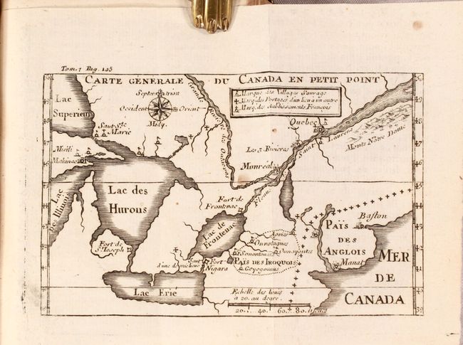
Another important folding map is Carte Generale du Canada en Petit Point, which focuses on the Great Lakes and the St. Lawrence River. The early and inaccurate geography on this map begins with a distorted Michigan and extends eastward to show most of the St. Laurence. Names Boston (Baston), Fort Niagara, Manhattan (Manat) but without Long Island, Fort de St. Joseph, Makinac, Saut Ste. Marie, Montreal and Quebec. The legend locates portages, Indian villages, and French settlements. The map is the third state.
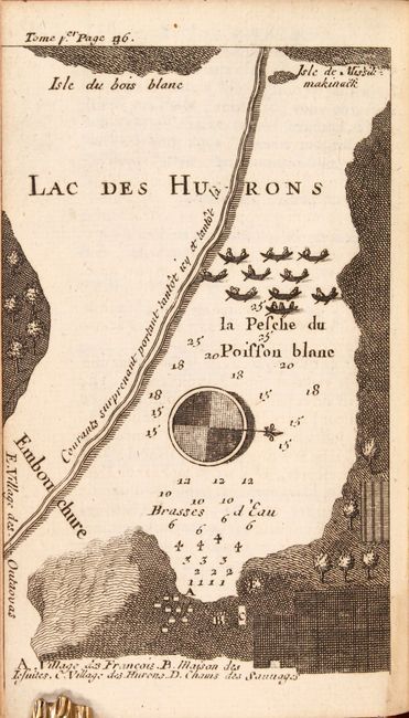
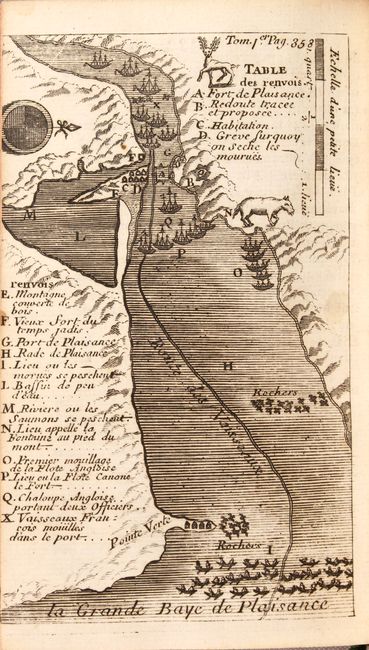
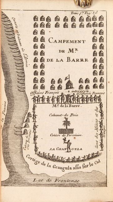
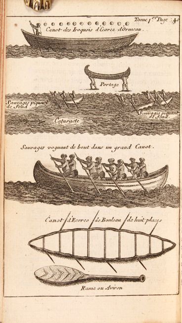
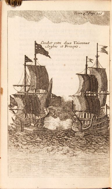
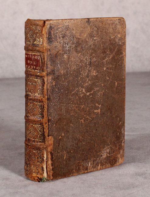
Two single-page maps in the volume depict Lac des Hurons and La Grande Paye de Plaisance. Also included are four engravings showing natives with their canoes, natives hunting, a battle plan, and a sea battle between French and English ships. This example is missing the map of Quebec along the St. Lawrence River, the frontispiece, the title page, and 5 plates (including the plate of the beaver). 8vo; 408 pages. Hardbound in brown calf with raised bands on spine with red and black labels, tooled and gilded; marbled endpaper and original green ribbon page marker.
References: Kershaw #285 & #301.
Condition: B+
The maps, plates and text are generally clean and bright with occasional spots of foxing. The map of the Riviere Longue has a short fold separation at bottom left. Several of the plates were trimmed to the neatline or just inside the neatline by the bookbinder. The front hinge is starting, the covers are worn with bumped corners, and the spine is heavily rubbed with some small chips and tears to the leather.