Catalog Archive
Auction 180, Lot 155

NO RESERVE

"[Lot of 3] County Map of Massachusetts, Connecticut, and Rhode Island [and] New Hampshire and Vermont [and] County Map of the State of Maine", Mitchell, Samuel Augustus

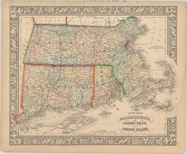
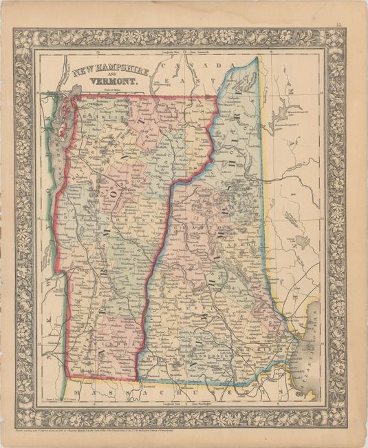
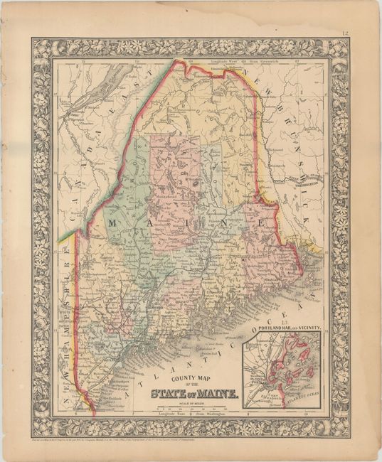
Subject: New England - United States

Period: 1860-62 (dated)

Publication:

Color: Hand Color

Size:
See Description
Download High Resolution Image
(or just click on image to launch the Zoom viewer)

These three handsome Mitchell maps of the states of Massachusetts, Connecticut, Rhode Island, New Hampshire, Vermont & Maine identify counties, towns and cities, railroads, islands, bays, and more. All include decorative floral borders and the first two were drawn and engraved by W.H. Gamble.

A. County Map of Massachusetts, Connecticut, and Rhode Island, dated 1862 (14.0 x 11.5").

B. New Hampshire and Vermont, dated 1860 (11.5 x 13.8").

C. County Map of the State of Maine, dated 1860 (10.7 x 13.4").

References:

Condition: B+

Original color on lightly toned sheets with faint damp stains and some small chips along the edges of the sheets.

Estimate: $90 - $120

Sold for: $80

Closed on 11/18/2020

Archived