Subject: Atlases
Period: 1872 (published)
Publication:
Color: Hand Color
Size:
12.9 x 18 inches
32.8 x 45.7 cm
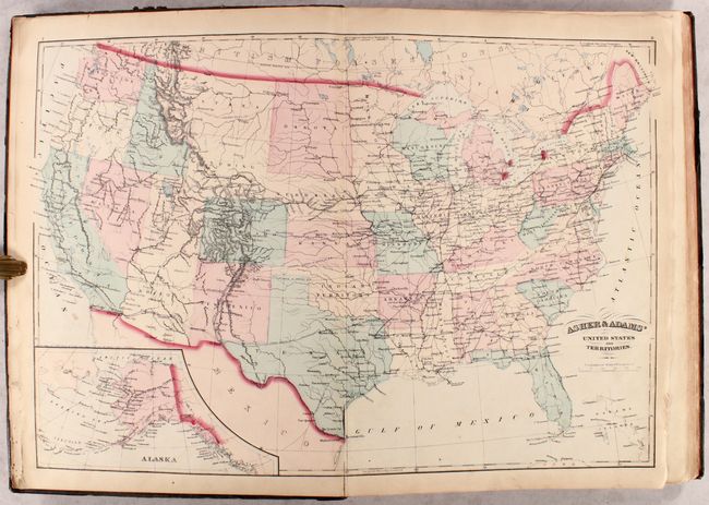
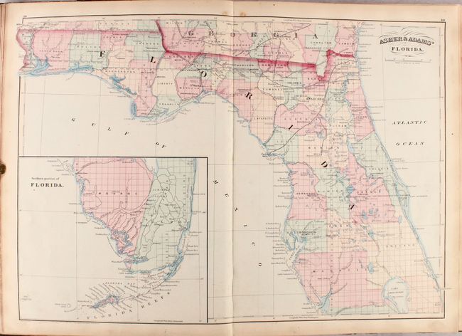
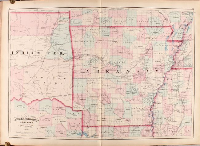
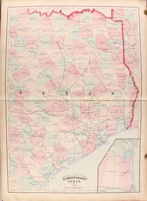
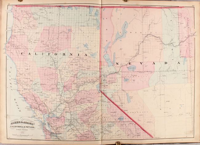
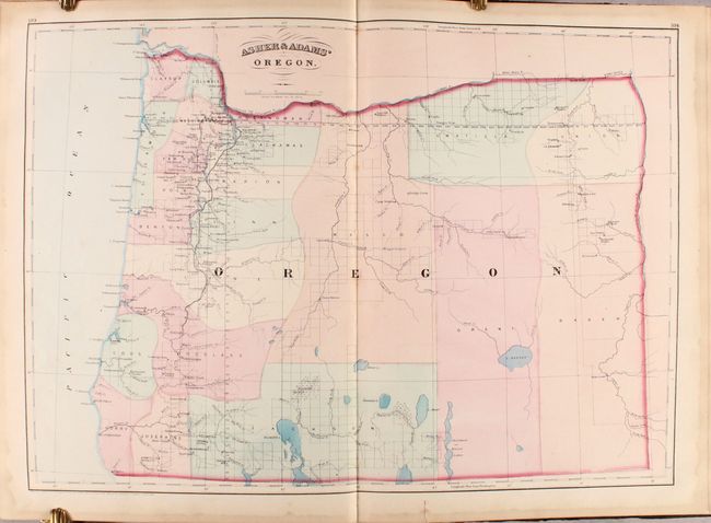
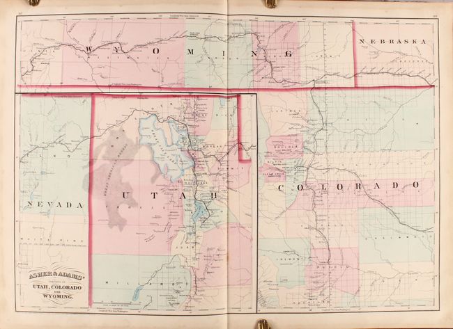
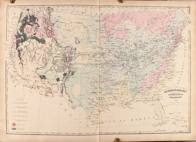
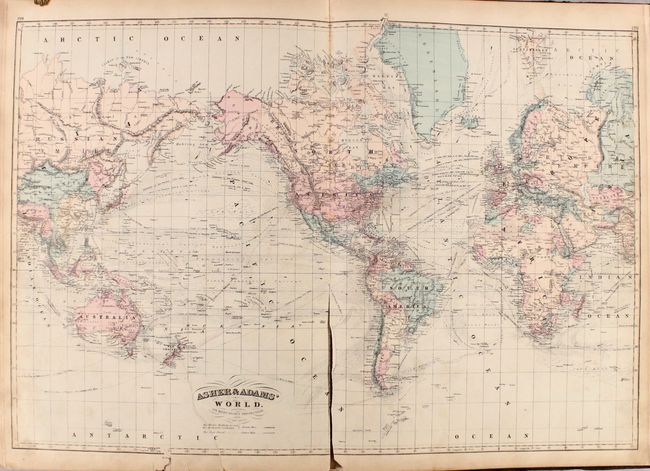
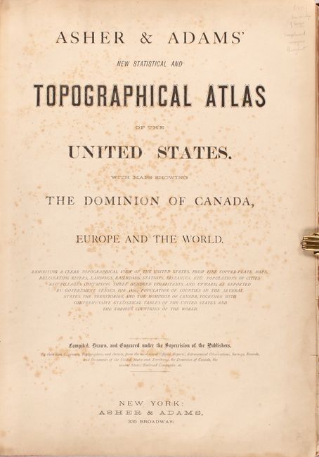
This large-format atlas of the United States is complete with 30 double-page maps. Asher & Adams' atlases were most notable for their excellent large-format maps of the states west of the Mississippi. The atlas includes a world map on Mercator's Projection, a map of Europe, a United States and Territories map, a geological map of the U.S., and numerous state maps. The maps of Kansas and Nebraska depict the western portion of the states as largely unorganized, and the map of Texas only includes the eastern portion of the state. Text at the rear of the volume includes population data, location of new post offices, place name index for the northeastern U.S., and a "classification of prominent firms" in Connecticut.
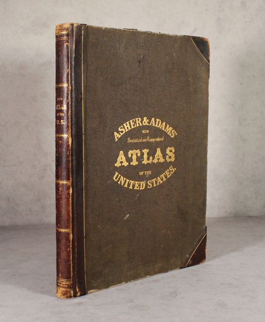
Contents include title page, contents, preface, maps, and text. Folio, original quarter calf with tips over brown cloth-covered boards with gilt title on front cover and spine.
References:
Condition: B+
The maps range from good to near fine, with the majority being very good. Condition issues are mostly in the front of the volume and include scattered foxing, some short fold separations (New England, New York, and New Jersey), and dampstains in the margins throughout. The U.S. map is a close to separating from the binding, the Europe map has an edge chip at bottom right and a small edge tear, and the world map has a 7" repaired edge tear at bottom and a long centerfold separation. Covers are moderately worn and stained.