Catalog Archive
Auction 179, Lot 753

"Les Isles Philippines, Molucques et de la Sonde", Fer, Nicolas de
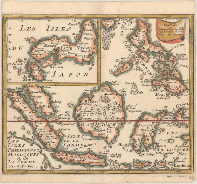
Subject: Indonesia, Philippines, & Japan

Period: 1689 (published)

Publication: Methode pour Apprendre Facilement la Geographie

Color: Hand Color

Size:
6.6 x 5.5 inches
16.8 x 14 cm
Download High Resolution Image
(or just click on image to launch the Zoom viewer)

This is a very close copy of Nicolas de Fer's map of the islands of Indonesia and the Philippines with a particularly noteworthy inset map of Japan. The main map is primarily based on Sanson's important map of the same title. However the map of Japan shows various influences resulting in a unique shape. The map depicts the cities and smaller settlements, rivers, mountain chains, and even forests. The equator is marked, and latitude and longitude indications are in the borders.

References: Walter #OAG-52.

Condition: A

A nice impression with narrow side margins, as issued, a touch of printer's ink residue at top right, and a couple of insignificant spots of foxing.

Estimate: $220 - $250

Sold for: $110

Closed on 9/16/2020

Archived