Catalog Archive
Auction 179, Lot 625

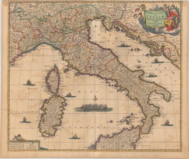
"Novissima et Accuratissima Totius Italiae Corsicae et Sardiniae Descriptio", Wit, Frederick de
Subject: Italy

Period: 1680 (circa)

Publication:

Color: Hand Color

Size:
22.4 x 19.3 inches
56.9 x 49 cm
Download High Resolution Image
(or just click on image to launch the Zoom viewer)

This fine map of Italy extends to include Corsica and Sardinia in the west and the Dalmatian coast in the east, which was controlled by the Republic of Venice at the time. It is filled with detail including towns, cities, rivers, and pictorial topography. Mt. Etna is shown erupting on Sicily and a raging battle fills the sea. Decorated by a banner-style title cartouche held aloft by Putti with Europa at their side.

References:

Condition: B

Trimmed to the border at top and light offsetting. A long centerfold separation has been closed on verso with old paper.

Estimate: $550 - $700

Unsold

Closed on 9/16/2020

Archived