Catalog Archive
Auction 179, Lot 223

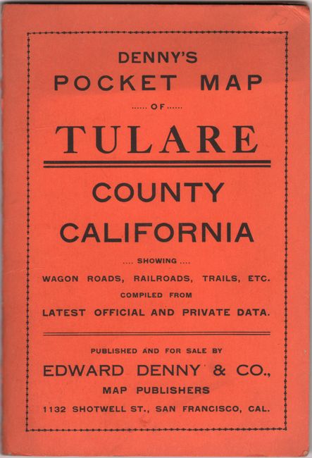
"Denny’s Map of Tulare County California",

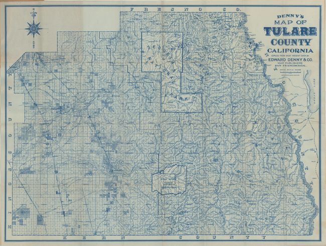
Subject: Central California

Period: 1911 (dated)

Publication:

Color: Printed Color

Size:
27.6 x 20.8 inches
70.1 x 52.8 cm
Download High Resolution Image
(or just click on image to launch the Zoom viewer)

This pocket map of Tulare County, California was published by Edward Denny & Co. in San Francisco. Printed in blue ink, the map is divided into townships and identifies wagon roads, railroads, trails, and more. Locates Sequoia National Park, Tule River Indian Reservation, and the ill-fated Owens Lake (soon to be the victim of the Los Angeles Aqueduct). Folds into orange paper wrappers (4.2 x 6").

References:

Condition: A+

The map is clean and bright, issued folding. Paper wrappers have minor wear.

Estimate: $180 - $220

Sold for: $120

Closed on 9/16/2020

Archived