Subject: References, North America
Period: 1965-74 (published)
Publication:
Color: Black & White
Size:
7.2 x 9.7 inches
18.3 x 24.6 cm
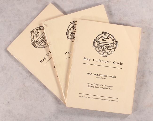
Map Collectors' Circle contains what is still the broadest reaching series of cartographic bibliographies. The series was initiated, edited, and published by the most highly regarded map expert of the 20th Century, Mr. Ronald V. Tooley.
This lot includes three volumes on the cartography of North America. The first two volumes included here were later compiled into Tooley's The Mapping of America (1980). No. 20 lists 42 North American city plans, each accompanied by a black & white plate. No. 39 is a reissue of Henry Stevens and Roland Tree's Comparative Cartography, an out-of-print work originally published in 1951 that lists 93 maps and charts "of the American Continent published in Great Britain during the years 1600 to 1850." No. 96 is part four of Tooley's series on printed maps of America, listing more than 300 maps, with 8 black & white plates focused exclusively on the works of Bellin.
References:
Condition: B+
Corners are slightly bumped with light shelf wear to the covers. <i>Nos. 20</i> and <i>96</i> have tears along the spines.