Subject: References, Ohio
Period: 1938-77 (published)
Publication:
Color: Black & White
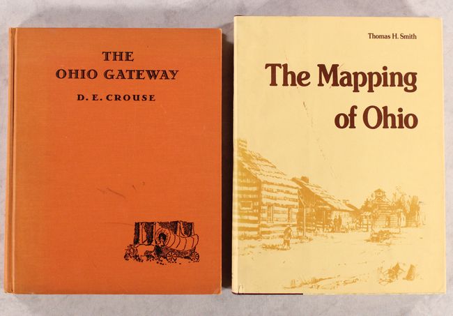
A. The Ohio Gateway, by D.E. Crouse, published 1938, (9.3 x 11.5"). "The angry tantrum of Nature that raised the area now representing Ohio from its lowly position as a hole in the bottom of the sea to its present altitude also thrust upward countless peaks of vertical rock strata that constituted a gigantic Appalachian fence from present Maine to Georgia through which any successful westward migration to inland North America must find the gate." So begins Crouse's fascinating look into the routes and trails in and out of Ohio. It spans from the beginning of time, describing the geological history of the region, to the present, with the author noting at the conclusion, "The miniature pedestrian stream, that trickled through the mountain crevices as pioneers, has swollen into a mighty torrent of highway, railroad and air traffic that finds - even with the skyway - that the mountain, lake and river sentinels, which Nature placed to designate the best route through the setting sun, maintain the prestige of the Ohio Country as the Gateway of the West." Aside from the eccentric majesty of Crouse's prose, the main attraction here are 25 b&w pictorial maps drawn by the author. Published by Charles Scribner's Sons. Condition: Text is lightly toned with a hint of damp staining along the top and bottom edges. Hinges are starting, and the covers are lightly soiled. There is minor sunning along the spine. (B)
B. The Mapping of Ohio - The Delineation of the State of Ohio Through the Use of Manuscript Maps, Printed Maps, and Plats..., by Thomas H. Smith, published 1977, (9.1 x 12.1"). Thomas H. Smith's book reveals the evolution of maps and mapmaking in the state. Starting with the earliest sketches of the French, the book demonstrates how other cartographers viewed the area and filled in the gaps with additional information. More than eighty plates were used to document this evolution. 252 pp. with numerous illustrations. Hardbound with gilt printed maroon cloth and patterned paper boards and a dust jacket. Condition: Contents and covers are near fine. The dust jacket has light shelf wear and soiling. (A)
References:
Condition:
See description above.