Subject: Atlases, Texas
Period: 1835 (published)
Publication:
Color: Hand Color
Size:
10.8 x 13.1 inches
27.4 x 33.3 cm
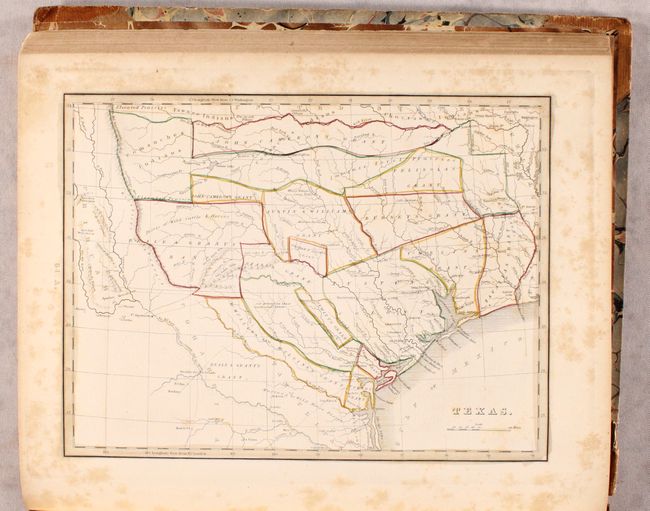
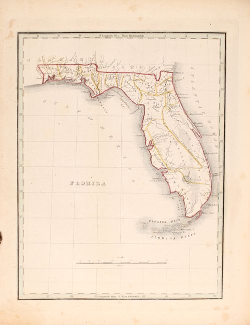
This is the first edition of Bradford’s folio atlas, and is the most desirable issue that includes a separate map of Texas (at least four versions of this atlas are dated 1835). It is the first American atlas to contain a separate map of Texas, which is based upon Stephen F. Austin’s important map. The map is entitled Texas, and shows land grants instead of counties. There are 14 land grants including Beales Grant, Austin & Williams Grant, and DeWitts Grant to name a few. Austins Colony is also named, but the city of Austin does not appear. The Nueces River is designated as the southwestern boundary of Texas with the Mustang Wild Horse Desert spanning the region between the Nueces and Rio Grande rivers. The map is marked page 64.A., and is accompanied by two pages of text marked 64.B and 64.C. describing the physical features, and also points out that Texas is "at present engaged in an arduous struggle for independence." Later editions only include one page of descriptive text.
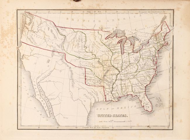
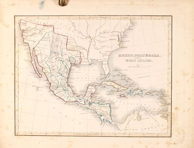
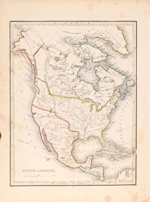
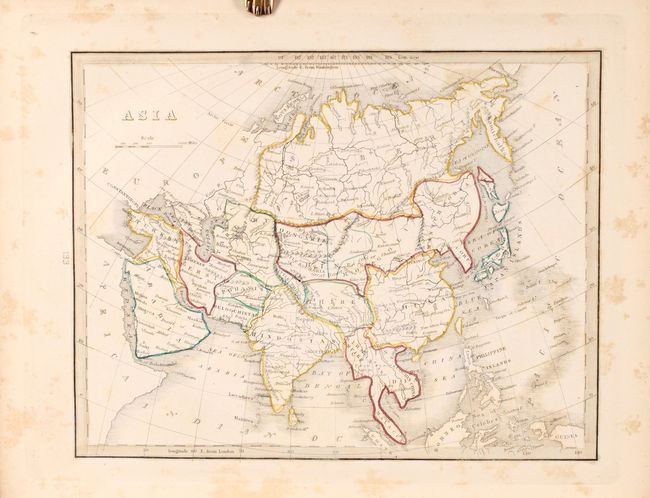
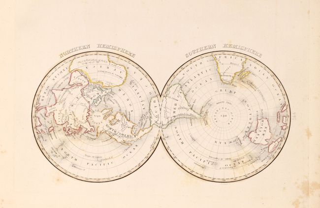
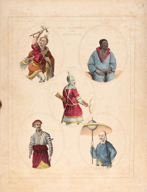
Other important maps in the atlas include the maps of the United States, North America, and Mexico, Guatemala, and the West Indies which all show Mexico extending to the southern border of Oregon in the north and encompassing Texas in the east. In addition to the maps, the atlas includes an attractive frontispiece, "The Five Varieties of the Human Race" and interesting charts such as "Dwellings of Different Countries" and "Distribution of Vegetables, and Snow Line," and a great comparative chart of mountains and rivers.
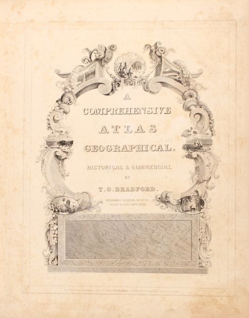
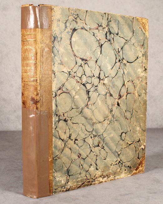
Complete, large quarto, quarter leather spine and tips over marbled-paper covered boards, with gilt title on spine, marbled pastedowns, 180 pages. Contains an engraved frontispiece, pictorial title page, advertisement, table of contents, and 78 engraved plates (including 68 maps). Published by W.D. Ticknor and Wiley & Long in New York.
References: Martin & Martin #31; Wheat [TMW] #408, 409, 410; cf. Phillips (Atlases) #770 (no Texas map).
Condition: B
The maps are good to very good with light to moderate foxing. There is a small dampstain in the lower right corner of the sheets in the first half of the volume, outside of the map images. Covers are moderately worn, the hinges are starting, and the binding has been partially reinforced with tape.