Catalog Archive
Auction 178, Lot 321

"Belgii Inferioris Descriptio Emendata cum Circumiacentium Regionu Confinijs...", Mercator, Gerard

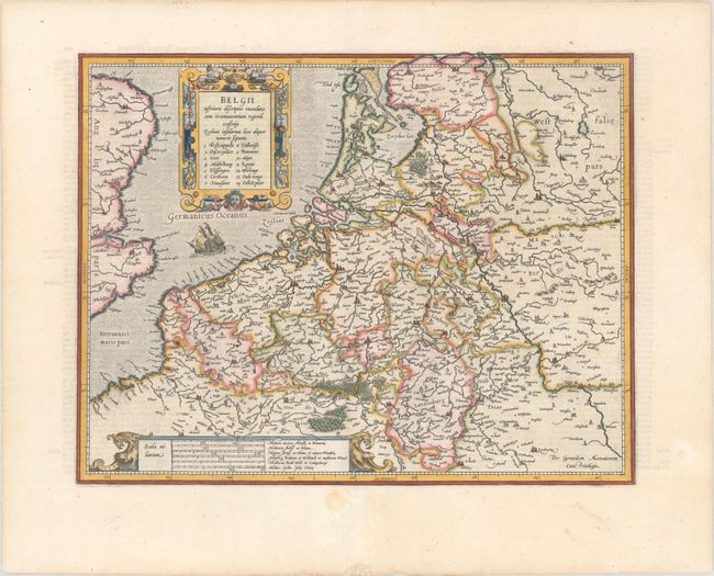
Subject: Low Countries

Period: 1619 (published)

Publication: Gerardi Mercatoris - Atlas sive Cosmographicae…

Color: Hand Color

Size:
18 x 14 inches
45.7 x 35.6 cm
Download High Resolution Image
(or just click on image to launch the Zoom viewer)

This is the first of Mercator's maps of this historic region based on the cartography of Ortelius. The map is decorated with two superb cartouches and a galleon sailing in the North Sea. This is the second state with the northern parts of Friesland adn Groningen extended into the top border. French text on verso.

References: Van der Krogt (Vol. I) #3000H:1A.

Condition: A

A crisp impression on a bright sheet with professional repairs to a short, clean cut in the image adjacent to the centerfold and marginal soiling.

Estimate: $600 - $750

Sold for: $450

Closed on 6/10/2020

Archived