"Neueste Karte von Mississippi", Meyer, Joseph
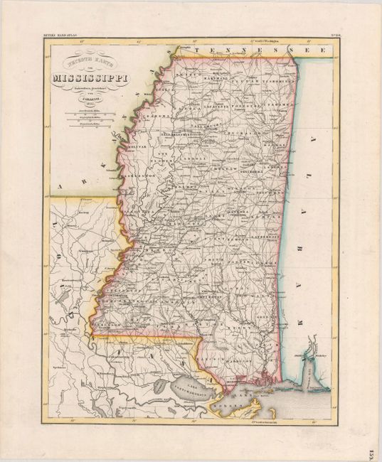
Subject: Mississippi
Period: 1852 (dated)
Publication: Meyer's Hand-Atlas
Color: Hand Color
Size:
11.3 x 14.8 inches
28.7 x 37.6 cm
This German atlas map of Mississippi delineates counties and shows roads, towns, cities, rivers, and creeks. County configuration is current to circa 1846, with outdated boundaries for counties like Tunica and Yazoo and no sign of no Calhoun County. The map extends to show part of Louisiana, with nice detail of the waterways and roads. Part of Alabama also appears, but only the area around Mobile Bay is depicted in any detail. Drawn by J. Graessl and engraved by E. Biedermann.
References:
Condition: A
Faint offsetting from an opposing page of text.