Subject: Nantucket, Massachusetts
Period: 1886-97 (circa)
Publication:
Color: Black & White
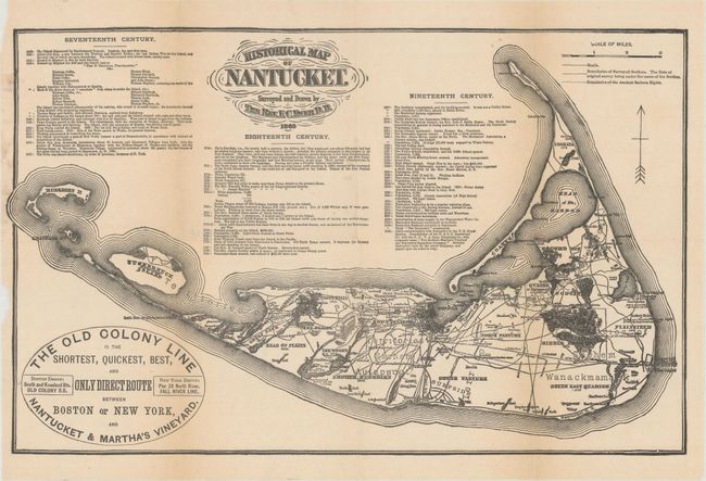
A. Historical Map of Nantucket, by (Rev.) F.C. Ewer, circa 1886 (13.6 x 8.6"). This folding ephemeral pocket map of Nantucket extends west to show Muskeget and the Huckernuck islands. It advertises "The Old Colony Line is the Shortest, Quickest, Best, and Only Direct Route between Boston or New York, and Nantucket & Martha's Vineyard." The map is a reproduction of the one surveyed and drawn by the Rev. F.C. Ewer in 1869 and shows roads, villages and the boundaries of the Ancient Sachem Rights. It also includes a chronology of historical events from 1602 to 1885. Condition: Issued folding with a hint of toning along the fold lines and a small chip confined to the left blank margin.
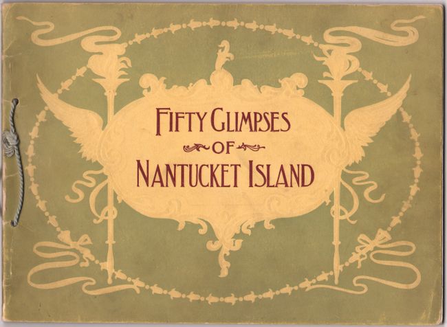
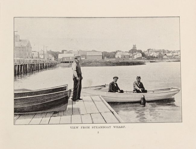
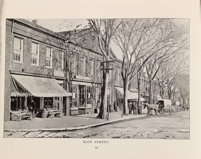
B. Fifty Glimpses of Nantucket Island from Recent Photographs, by John F. Murphy, published 1897 (8.8 x 6.4"). This attractive little booklet contains 50 photographic images on 44 sheets showing the features and attractions on the island. Includes many photos of wharves, boats, hotels, important buildings, Main Street, and more. Bound with original string tie and pictorial paper wrappers. Condition: Contents are clean and bright. Minor soiling and light wear to wrappers.
References:
Condition: A
See description above.