Subject: Delaware
Period: 1823 (circa)
Publication: A Complete Historical, Chronological, and Geographical American Atlas
Color: Hand Color
Size:
9.4 x 11.6 inches
23.9 x 29.5 cm
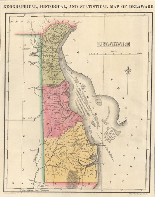
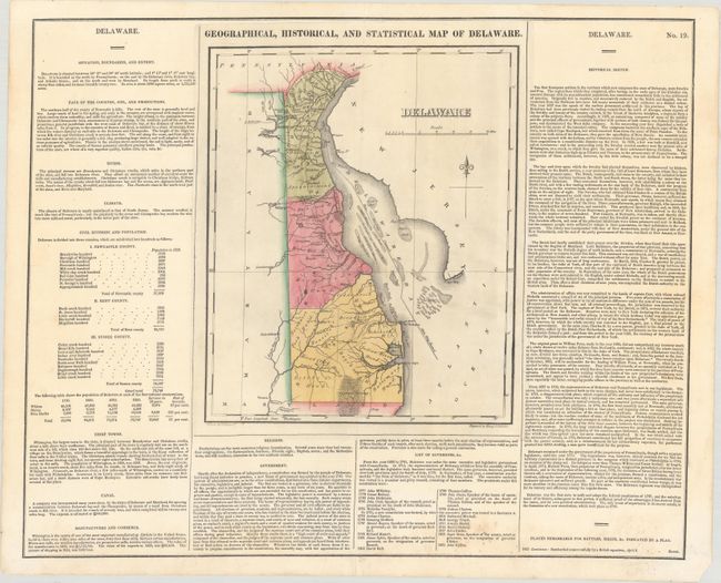
This map was drawn by Fielding Lucas and engraved by the firm of Young & Delleker. It shows the state with a population of less than 73,000 including 4,500 slaves and 13,000 "Free Blacks." In Delaware Bay numerous shoals with the "Main Ship Channel" are depicted winding its way through the hazards. There is a modest network of wagon roads with towns and settlements including George Town, Louisville, Dover, and Wilmington. The map is on a full folio sheet (21.8 x 17.6") surrounded by English text giving a brief description of the state’s boundaries, rivers, climate, chief towns, government, and history.
References:
Condition: A
A crisp impression on a bright sheet with contemporary color, minor foxing mostly confined to the text at bottom, and centerfold separations at top and bottom that have been archivally repaired.