Subject: References, Africa
Period: 1966-68 (published)
Publication:
Color: Black & White
Size:
7.3 x 9.7 inches
18.5 x 24.6 cm
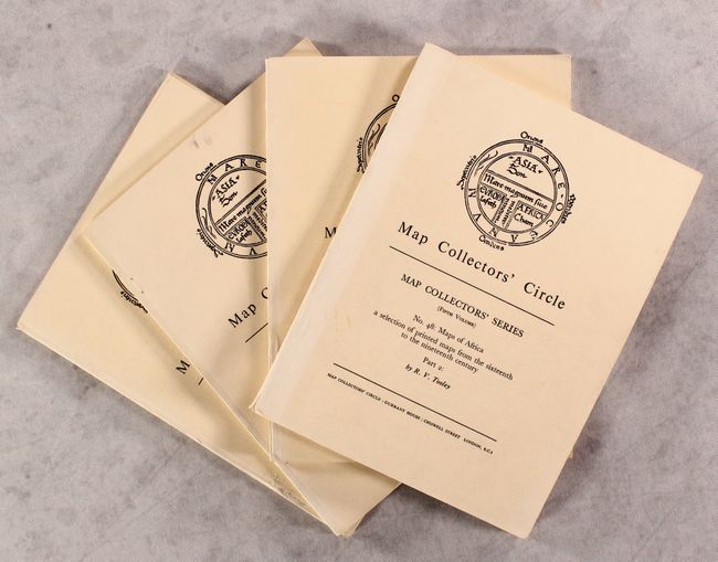
Map Collectors' Circle contains what is still the broadest reaching series of cartographic bibliographies. The series was initiated, edited, and published by the most highly regarded map expert of the 20th Century, Mr. Ronald V. Tooley.
This lot includes four volumes focused on maps of Africa. Nos. 29 and 30 cover printed maps of the continent of Africa and regional maps south of the Tropic of Cancer published from 1500-1600. Together, the two volumes list 342 entries across 75 pp. with 42 b&w plates. Condition: There are a few loose signatures and short tears along the spines. (B)
Nos. 47 and 48 focus on a sampling of printed maps of Africa from the 16th to the 19th century, organized by cartographer. 114 pp. plus 32 b&w plates over two volumes. Soft paper covers. Condition: Contents are very good. Spines are lightly sunned with a short tear on the spine of No. 48. (B+)
References:
Condition:
See description above.