Subject: Atlases
Period: 1849 (published)
Publication:
Color: Hand Color
Size:
14.3 x 17.8 inches
36.3 x 45.2 cm
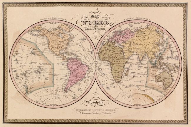
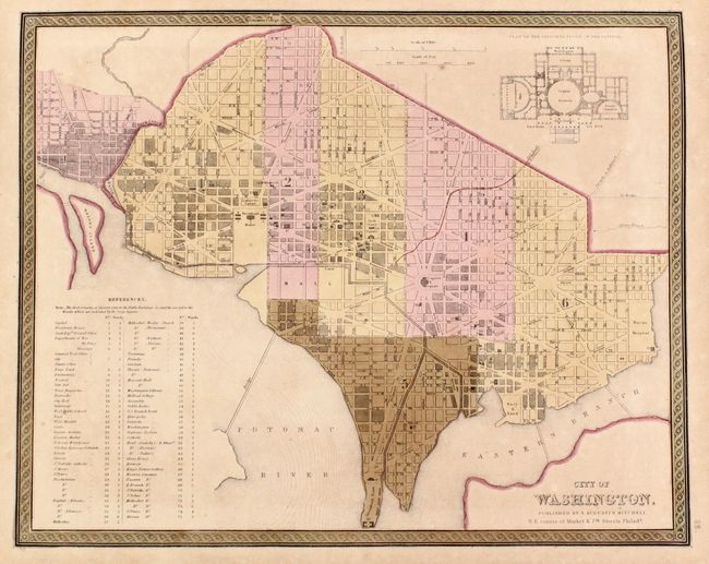
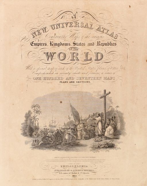
The title continues "With a special map of each of the United States, Plans of Cities &c. Comprehended in seventy sheets and forming a series of one hundred and seventeen Maps Plans and Sections." This is a nice copy of this famous and highly sought-after atlas, complete with 73 hand colored plates, including maps of the world, North America and the other continents, Oceania, the United States and its territories, and numerous city plans.
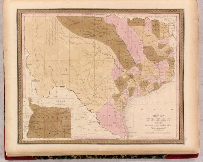
Of particular interest is Map of Texas from the Most Recent Authorities, which was issued shortly after the state's annexation to the United States. The map portrays early county configurations such as Robertson and Milam, extending from central Texas northwestward to the Red River; San Patricio, extending from the Nueces to the Rio Grande; and Bexar, comprising all lands to the southwest and west along the Rio Grande and northwards into the present panhandle. The panhandle in an inset is titled, "Texas North of the Red River" at lower left. Several early roads are depicted including the Presido Road, and Fort Alamo, mines, and the presidios of Rio Grande, del Norte el de las Yuntas, del Paso del Norte are identified.
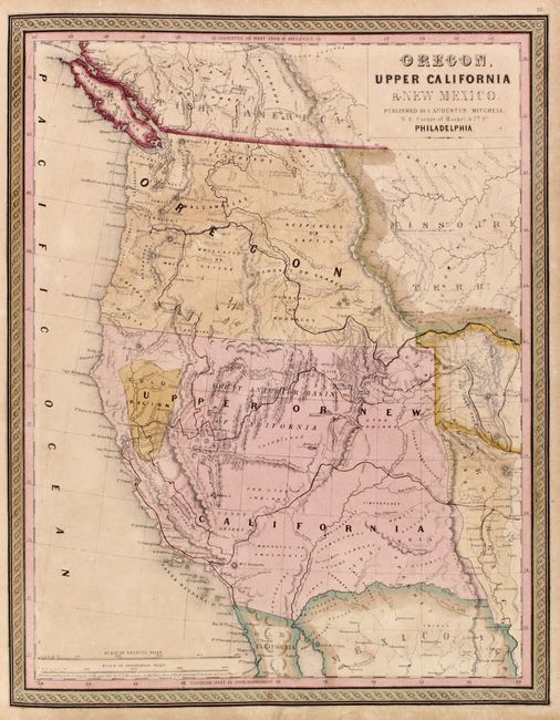
Also of interest is the map of Oregon, Upper California and New Mexico, which shows Oregon Territory extending to the Continental Divide with its northern boundary based upon the Treaty of 1846 with Britain and the southern boundary based upon the treaty of 1819 with Spain. Oregon City is shown as the capital. Lewis and Clarke's route, Fremont's Route, and the Oregon Trail are noted through wilderness dotted with a few missions, forts, and numerous Indian tribes. The area labeled Upper or New California includes present-day California, Nevada, Utah, Arizona, and parts of New Mexico, and Colorado. The capital is at Monterey, and the recently discovered Gold Region is located between Sacramento City and Mountain Lake. The unexplored interior is labeled and described as the Great Interior Basin of California, which is transversed by the Great Spanish Trail from Pueblo de Los Angelos to Santa Fe.
Samuel Augustus Mitchell and his sons were the leading publishers of maps in the United States during most of the nineteenth century. Mitchell had come to Philadelphia around 1830 with the intention of improving the standard of geography textbooks. A New American Atlas, published in 1831, was his first work. Then, in 1845 he acquired the rights to Tanner's New Universal Atlas, and in 1846 he published his first edition of the present work. Mitchell published the atlas until 1850, when he sold the copyright to Cowperthwaite & Co. of Philadelphia, who continued to publish it until the mid-1850s, when it was purchased by Charles DeSilver.
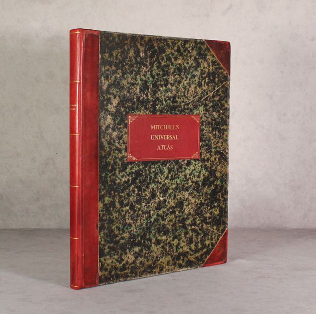
Folio. Hardbound, frontispiece, pictorial title page, table of contents, 72 hand-colored maps. Rebacked with new title label on original marbled boards and red leather tips. This edition was published by S. Augustus Mitchell, NE corner of Market & 7th Streets. An increasingly difficult to find atlas.
References:
Condition: B
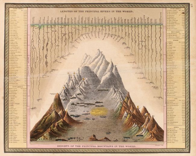
The maps are good to very good with light toning, scattered foxing, and some light browning of the contemporary green pigments used to color the maps. The comparative rivers and mountains plate has some extraneous creasing across the middle of the image that has been reinforced on verso with tissue, and the map of Upper Canada is loose. Rebacked with new title label. Original boards have average wear and abrasions.