Subject: Atlases
Period: 1761 (published)
Publication:
Color: Black & White
Size:
11.6 x 7.8 inches
29.5 x 19.8 cm
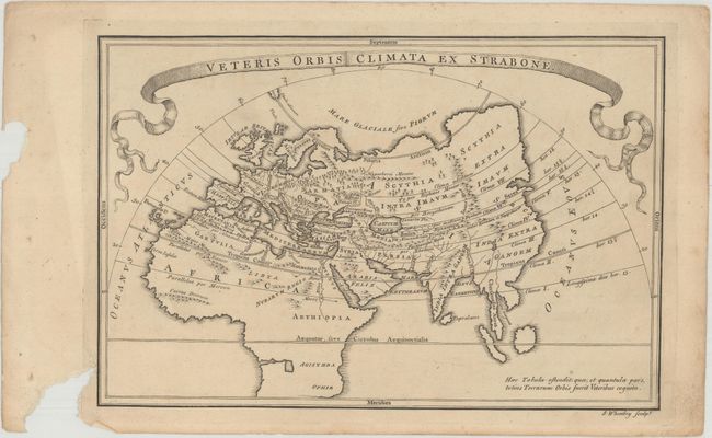
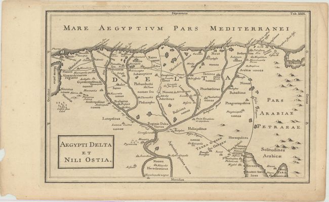
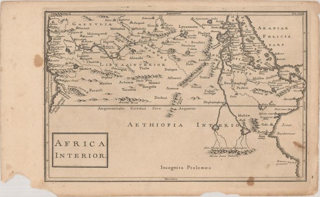
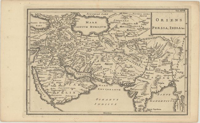
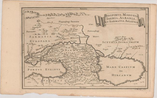
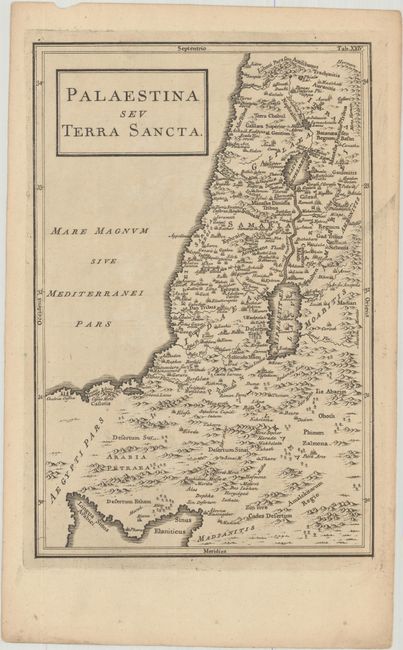
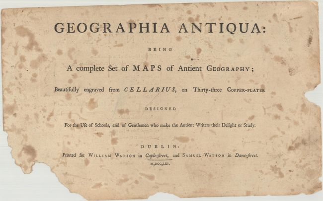
This is a partial, disbound copy of the extremely rare first Dublin edition of Cellarius' Geographia Antiqua, a highly-regarded book on ancient geography that was first published with maps in 1731 and was re-issued a number of times over the next century. Nicolas Lenglet Dufresnoy published several editions in London between 1742-99 with newly engraved maps, as well as two Dublin editions in 1761 and 1786 with a new set of maps that were close copies of the London edition. Several of the maps in the Dublin editions include the signature of the engraver, S. Wheatley, and it is possible that he engraved other maps in the set as well. Although the title page calls for 33 maps, only 16 are included in this disbound example in addition to the title page (with table of contents on verso) and front free-endpaper. The maps focus on the three regions of the Ancient World - Europe, Asia and Africa. The attractive, boldly engraved maps are in Latin and are filled with ancient place names. The Ancient World map, Veteris Orbis Climata ex Strabone, divides the ancient world into seven climatic zones and shows a severely truncated Asian continent and no Japan. The handsome map of the Nile Delta, Aegypti Delta et Nili Ostia locates Alexandria, Memphis and the pyramids. The full list of maps included are:
1. Veteris Orbis Climata ex Strabone
2. Hispania Antiqua
3. Gallia Narbonensis Lugdunensis et Aquitania
4. Gallia Belgica
5. Graecia Magna sive pars Ultima Italiae
6. Scythia et Serica
7. Palaestina seu Terra Sancta
8. Bosporus, Maeotis, Iberia, Albania, et Sarmatia Asiatica
9. Arabia, Petraea et Deserta
10. Mesopotamia et Babylonia
11. Oriens Persia, India &c.
12. Aegypti Delta et Nili Ostia
13. Aetyptus et Cyrenaica
14. Africa Propria
15. Mauretania et Numidia
16. Africa Interior
References: McCorkle (18th C. Geography Books) #219.
Condition: B+
The maps are in very good condition with minor toning, occasional chips along the edges of the sheets, and light, scattered soiling. The title page is heavily foxed and chipped. The front free-endpaper and the Ancient World map also have larger chips. The map of southern Italy has heavy foxing in the left blank margin.