Subject: Japan & Korea
Period: 1596 (published)
Publication: Theatrum Oder Schauspiegel...
Color: Hand Color
Size:
8.3 x 5.8 inches
21.1 x 14.7 cm
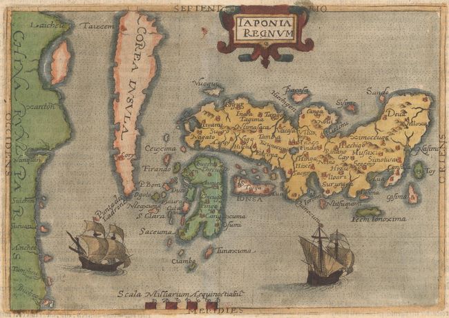
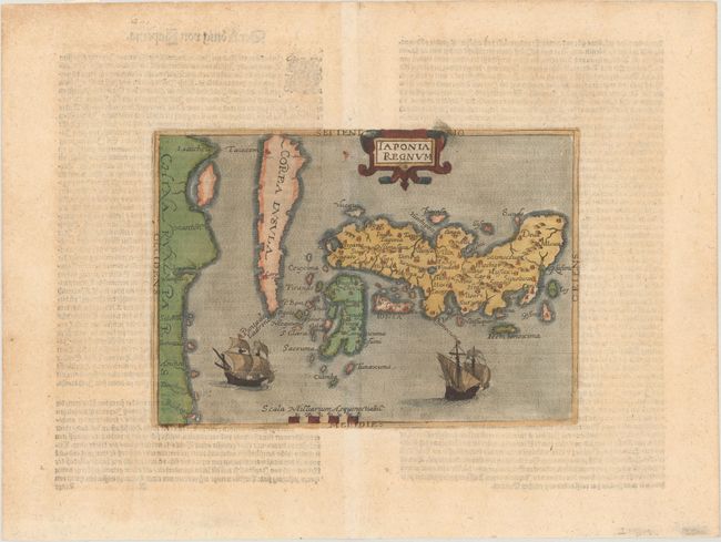
This is the rare first derivative of the Ortelius/Teixeira map of Japan. The Ortelius map was the first map of Japan to be published in a European atlas. Ortelius' source was Ludovico Teixeira, a Portuguese Jesuit cartographer and mathematician who had not personally traveled to Japan, but had access to Japanese sources. The resulting map presents the first reasonably accurate and recognizable depiction of the island nation with numerous Japanese place names. Botero's reduced version of the map includes place names and topographical details copied from Ortelius. Similarly, its sailing ships and strapwork cartouche are simplified versions of the decorative elements found on the larger map. Korea is depicted as an island tapering to a point labeled Punta dos ladrones.
Giovanni Botero (1533-1617) was a Jesuit scholar who taught rhetoric and philosophy, became one of the most notable economists of the sixteenth century, and published the popular geographical work Le Relationi Universali. This example appeared in a German edition of his Theatrum Principum Orbis Universi. The same map was published by Johannes Metellus in his Asia Tabulis Aeneis (1600) and Speculum Orbis Terrae (1602). German text on verso.
References: Hubbard #7; Walter OAG #6, plt. 20.
Condition: A
Minor toning in the blank margins, else fine. Remnants of hinge tape on verso.