Catalog Archive
Auction 177, Lot 425

"Cenomanorum Galliae Regionis, Typus - La Mans [on sheet with] Neustria - Britanniae, et Normandiae Typus", Ortelius, Abraham

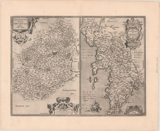
Subject: Northwestern France

Period: 1594 (dated)

Publication: Theatrum Orbis Terrarum

Color: Black & White

Size:
19.8 x 14.7 inches
50.3 x 37.3 cm
Download High Resolution Image
(or just click on image to launch the Zoom viewer)

Double-page sheet containing two maps that encompass northwest France, with north oriented to the left. The map on the left covers the region surrounding Le Mans and is based on the cartography of Matthaeus Ogerius. The map of Normandy and Bretagne was compiled from numerous sources, the most important one being Mercator's map of the region from 1585. Latin text on verso, published in 1603.

References: Van den Broecke #37.

Condition: A

A dark impression on a bright sheet with light printer's ink residue.

Estimate: $150 - $180

Sold for: $110

Closed on 4/29/2020

Archived