Subject: Central America
Period: 1839-50 (published)
Publication:
Color:
This lot contains two early reports concerning U.S. efforts to construct an interoceanic canal.
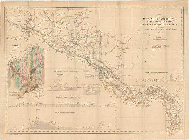
A. Map of Central America, Shewing the Different Lines of Atlantic & Pacific Communication [Bound in Report with 3 Other Maps], published 1850, hand color (31.9 x 23.3"). This report contains four maps that illustrate the various proposed routes for a land transit that would cut weeks off a journey from the Atlantic to the Pacific. The large map shows four possible routes: Across the Isthmus of Tehuantepec; from Port Sn. Juan del Norte to Port Realejo; between Charges (Atlantic) and Vaca de Monte (Pacific); and from the Lake Nicaragua to Port San Juna del Sur. A large and very colorful inset shows the geological composition on the Isthmus of Panama and the planned route in great detail. Also included in the report are "Map of the River of San Juan de Nicaracua" (29.5 x 10.3"), "Map of Central America Showing the Pretended Boundaries of the Mosquito Kingdom" (10.7 x 9.9"), and "Map of Nicaragua" (16.7 x 14"). The large map gained particular prominence with the discovery of gold in California and was copied in this report. Disbound, 328 pages. Condition: Maps are overall very good with light toning and a few misfolds. The large map has a 0.25" binding tear at left that has been closed on verso with archival tape. Disbound text is near fine.
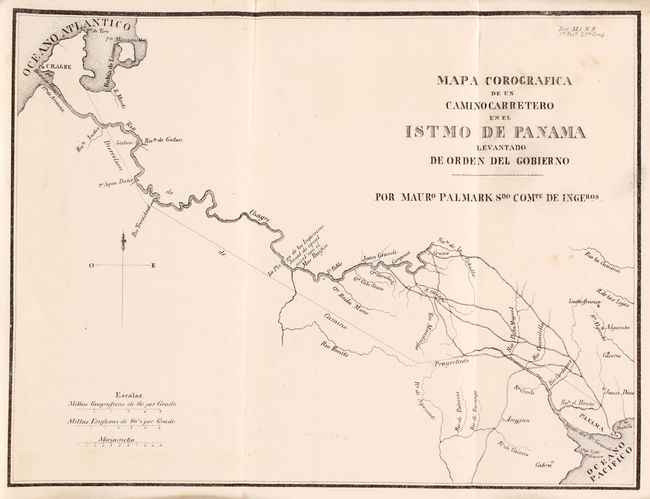
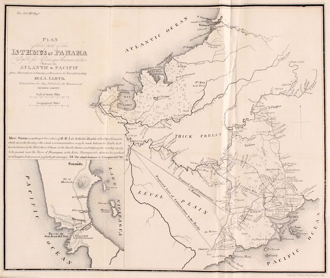
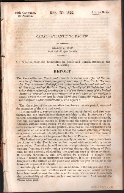
B. [Report with 5 Maps] Canal – Atlantic To Pacific, published 1839, black & white (5.7 x 8.9"). This 167 page report from the House Committee on Roads and Canals details several possible scenarios for opening a "communication" (railroad or canal) between the Atlantic and Pacific Oceans, with a recommendation that the House of Representatives approve a resolution for the President to enter negotiations with the government of Panama to create a canal. The report includes a profile view from Lake Nicaragua to the Pacific Ocean and the following five maps:
Map Showing the Route from New-York to the Isthmus of Panama (14.2 x 7.1").
Isthme de Tehuantepec (15.6 x 10.8").
Map of the Western Coast of America with the Intended Track of the Steamers (6.9 x 12.9").
Mapa Corografica de un Camino Carretero en el Istmo de Panama… (9.3 x 7.2").
Plan of That Part of the Isthmus of Panama Eligible for Effecting a Communication between the Atlantic & Pacific…, by J.A. Lloyd (10.2 x 8.5").
Condition: The maps are very good to near fine with with occasional faint offsetting and minor toning. Text is very good with occasional foxing and light toning.
References:
Condition: B+
See description above.