Subject: New York City, New York
Period: 1839 (dated)
Publication:
Color: Hand Color
Size:
11.5 x 13.5 inches
29.2 x 34.3 cm
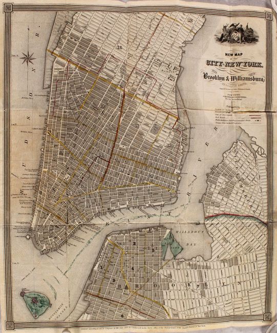
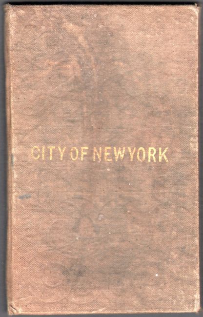
This pocket map presents a detailed plan view of Manhattan up to 43rd Street, extending to cover Brooklyn and Williamsburg as well. Streets are well delineated, and there is nice detail of the various docks. Above the title, there is an illustration of the Seal of New York City, with a native and a sailor flanking the city's arms, crested by an eagle. A key below the title identifies the built sections of the city, ward boundaries, line of fire limits, railroads, public buildings, churches, principal hotels, and the distance from city hall in half miles. Fort Columbus, Castle Williams, and the South Battery are located on Governors Island. Engraved on steel by Stiles, Sherman, and Smith. Published by John Disturnell. In 1842, this map would appear in the last edition of A New Universal Atlas to be published by Henry Schenck Tanner. Folds into brown boards with gilt title on front cover.
References:
Condition: B
Issued folding with short separations, most of which have been closed on verso with tape. There is light toning and stray colorist's ink. Covers are stained and worn.