Subject: Montana
Period: 1876-1908 (dated)
Publication:
Color:
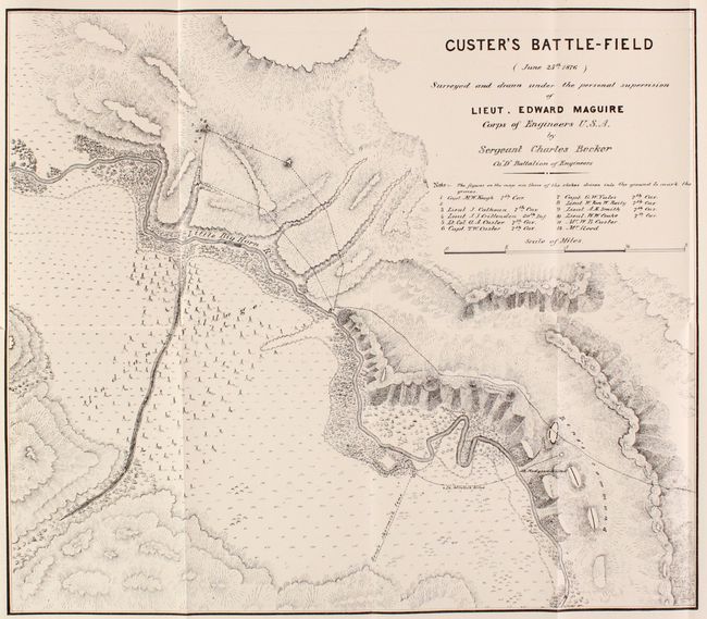
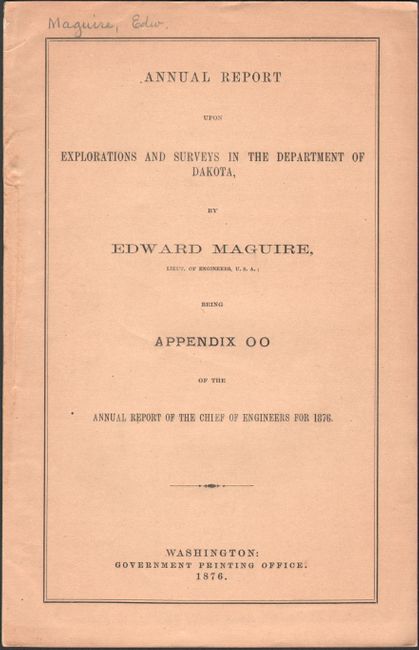
A. Custer's Battle-Field (June 25th 1876)..., [bound in] Annual Report Upon Explorations and Surveys in the Department of Dakota, by Edward Maguire, published 1876, black & white (17.6 x 15.1"). An excellent terrain map of the scene of Custer's defeat that was made shortly after the infamous massacre of the 7th Cavalry. Maguire was attached to a column that came to Major Marcus Reno's rescue and upon departure of the hostile Indians he proceeded to the scene of the disaster. Drawn by Sergeant Charles Becker, the map details the area, locates the graves of 12 fallen soldiers and officers, including Lt. Col. Custer. Locates the Indian Village, the course of the Little Big Horn River, Reno's skirmish line and much more of interest. In his 6 page report accompanying the map, Maguire's comments are most elucidating on several levels, including "The Indians are the best irregular cavalry in the world, and are superior in horsemanship and marksmanship to our soldiers, besides being better armed…" A remarkable map of a most historic event. Separate offprint, 10 total pages with tan paper wrappers (5.8 x 9.0"). Condition: Map has a hint of offsetting, otherwise fine. (A)
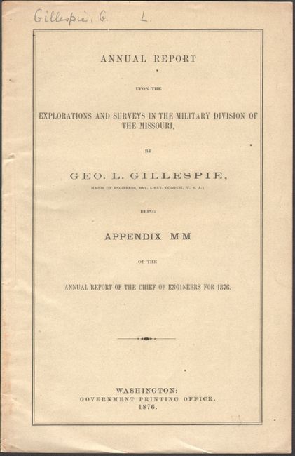
B. Annual Report Upon the Explorations and Surveys in the Military Division of the Missouri, by George L. Gillespie, published 1876, black & white (5.8 x 9.1"). This is the annual report from the Chief Engineer of the Department of the Missouri (no map was issued with this report). The text discusses the status of mapping the western territories as well as a detailed account of troop movement that led to Custer's demise. Separate offprint, 9 total pages with gray paper wrappers. Condition: Text is clean and bright. Minor soiling to paper wrappers. (A)
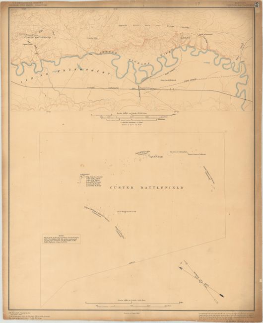
C. Custer Battlefield, by U.S. Geological Survey, dated 1908, printed color (16.1 x 19.8"). The top third of this sheet shows the vicinity of Custer Battlefield along the Little Bighorn River. Locates the Chicago, Burlington & Quincy Railroad, the town of Garryowen, Custer's advance, and the route of Reno's advance and subsequent retreat from the Indian Encampment. The lower two-thirds is an enlargement of Custer Battlefield with tiny black dots locating where members of Custer's command fell on June 25, 1876. Drawn by R.B. Marshall. Condition: There are a few minor spots in the image along with toning and soiling along the sheet edges. Backed with linen. (B+)
References: Wheat (TMW) #1266.
Condition:
See description above.