Catalog Archive
Auction 177, Lot 205

"Carte Geographique, Statistique et Historique de l'Illinois", Buchon, Jean Alexandre

Subject: Illinois

Period: 1825 (published)

Publication: Atlas Geographique, Statistique, Historique ... des Deux Ameriques

Color: Hand Color

Size:
8.4 x 11.7 inches
21.3 x 29.7 cm
Download High Resolution Image
(or just click on image to launch the Zoom viewer)

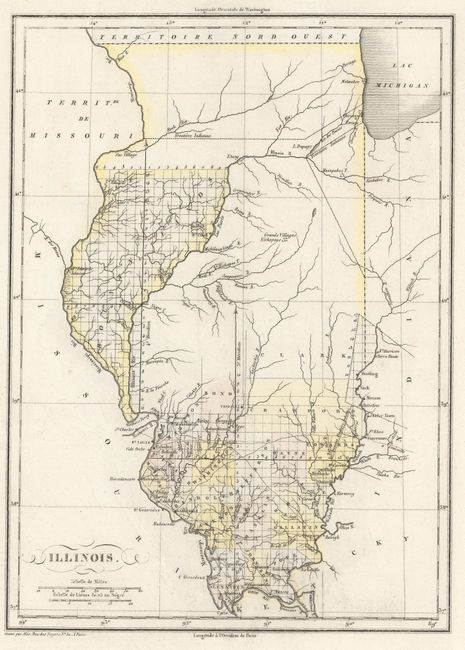
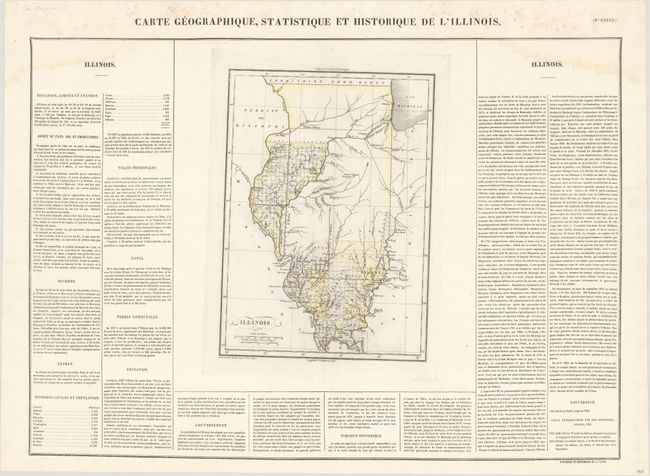
This is the French edition of Carey & Lea's map of Illinois. The map shows county development confined to the southern portion of the state, with a large Bounty Lands in the northwestern part of the state. County development is current as of 1819, with Crawford being formed from Clark County. The map is surrounded by French text on a full folio sheet, with a table listing the population of each county. Sheet with text measures 24.1 x 17.2".

References:

Condition: B+

A crisp impression on a bright sheet with contemporary color and light damp stains in the top corners of the sheet.

Estimate: $240 - $300

Sold for: $180

Closed on 4/29/2020

Archived