Catalog Archive
Auction 177, Lot 139

"(United States of North America) Die Staaten von N. & S. Carolina Georgia & Florida", Hildburghausen Biblio Institut

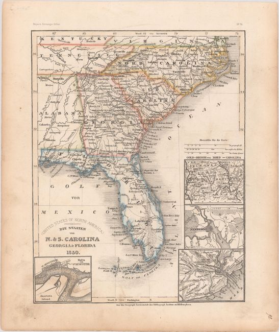
Subject: Southeast United States

Period: 1850 (dated)

Publication: Meyer's Zeitungs-Atlas

Color: Hand Color

Size:
7.8 x 9.9 inches
19.8 x 25.1 cm
Download High Resolution Image
(or just click on image to launch the Zoom viewer)

This very detailed German map of the southeastern United States shows roads, towns, railroads, and rivers. There are four insets: Hafen von St. Augustine, which shows Anastasia Island, St. Augustine, and the location of Fort St. Marks; Charleston; Newberne (New Bern, North Carolina); and the gold region of North Carolina.

References:

Condition: B+

Contemporary outline color with light soiling primarily in the blank margins.

Estimate: $80 - $100

Sold for: $90

Closed on 4/29/2020

Archived