Subject: References, Britain
Period: 1985-99 (published)
Publication:
Color:
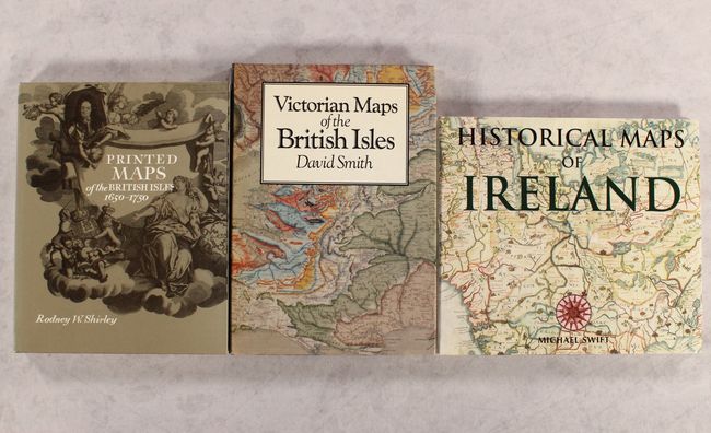
A. Printed Maps of the British Isles 1650-1750, by Rodney W. Shirley, published 1988, black & white, (8.9 x 11.1"). This is a sequel of sorts to Shirley's classic reference tracing the early cartographic history of the British Isles. Whereas his book covering 1477 to 1650 was organized chronologically, this volume is organized by cartographer from anonymous cartographers and Pieter van der Aa to Frederick de Wit. It covers more than 280 maps in all, many of them accompanied by B&W illustrations. The book also includes brief biographical sketches of nearly 70 notable cartographers, 6 appendices, and 3 indexes. An invaluable reference for collectors of maps of the U.K. Hardbound in golden-tan cloth with gilt titles on the spine and an illustrated dust jacket. 168 pp. Condition: Contents are clean and tight. There is a light damp stain around the spine at bottom that does not affect the text. Slight sunning on the dust jacket.
B. Victorian Maps of the British Isles, by David Smith, published 1985, printed color, (8.5 x 12.0"). This interesting reference details the evolution of mapmaking in the British Isles during the Victorian era, discussing changes in copper engraving, electrotyping, lithography, color techniques, and much more. The second part is a carto-bibliography of topographical atlases of the British Isles published between 1837 and 1900. It includes 114 illustrations, 8 of them in color. 176 pp. Hardbound in black cloth with gilt titles on spine. Condition: Contents are tight. Dust jacket is price clipped with minor shelf wear and faint damp stains at top and bottom.
C. Historical Maps of Ireland, by Michael Swift, published 1999, printed color, (11.4 x 9.9"). Swift's fascinating book charts the history of the Emerald Isle through cartography. It spans three centuries of British rule, from the 16th to the 19th century. The introduction provides a brief historical sketch of Ireland. Illustrated throughout with colorful images. 144 pp. Hardbound with illustrated cover and matching dust jacket. Condition: Contents are tight with a hint of toning along the top edge. There are small faint damp stains at top and bottom on the dust jacket.
References:
Condition: A
See description above.