Subject: Atlases
Period: 1850 (published)
Publication:
Color: Hand Color
Size:
9.8 x 12.1 inches
24.9 x 30.7 cm
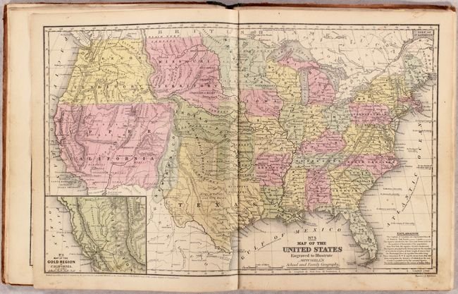
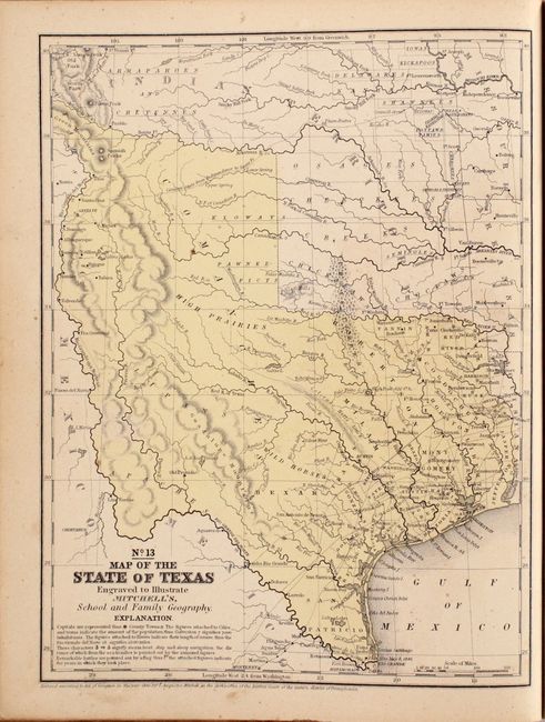
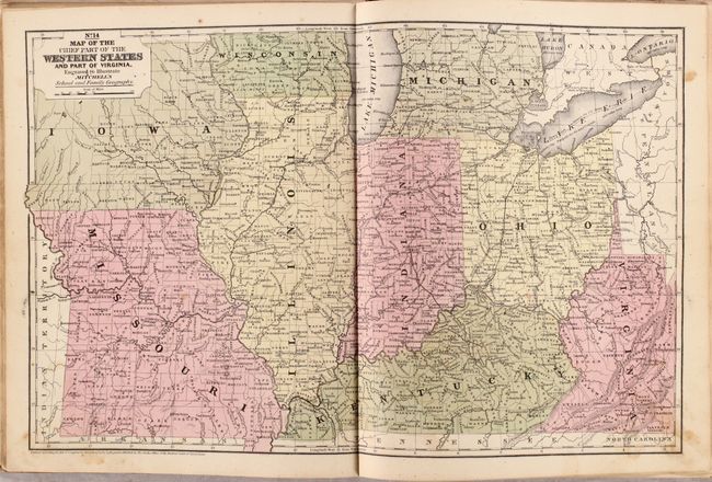
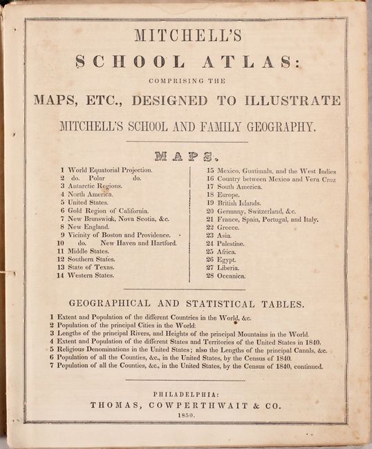
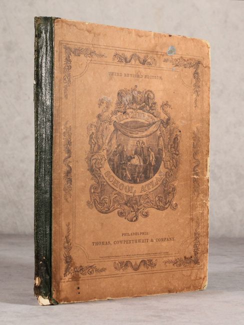
Mitchell's famous school atlas is complete with 28 maps, many double-page, along with tables and statistics. Most of the maps are dated 1839 or 1844 with the exception of the Texas map (1846) and the United States map (1849). This atlas includes the first edition of the United States map showing the important territorial acquisitions of the Mexican-American War, pre-Gadsden Purchase plus the newly discovered gold region in California. The recently acquired Upper California and New Mexico are still shown in their Mexican configurations. The Oregon Territory extends to the Continental Divide. The inset map "No. 6 Map of the Gold Region of California" shows Sutter's Buttes, Sacramento City, and all of the important creeks of the gold region feeding into the Sacramento and Feather Rivers. Also of interest is the No. 13 map of Texas, which is shown in its largest configuration with the stove-pipe panhandle continuing through the Green Mountains in present-day Colorado. Hardbound with pictorial paper over boards. This is the third revised edition, published by Thomas, Cowperthwait & Co.
References:
Condition: B+
Condition code is for the maps, which are very good with occasional light toning, soiling, and scattered foxing. Text block has nearly separated from the binding. Moderate wear to boards and spine.