Subject: Atlases
Period: 1829 (published)
Publication:
Color: Hand Color
Size:
11 x 14.2 inches
27.9 x 36.1 cm
Finely's maps employ a delicate and elegant engraving style and provided extensive topographical and watershed information. He was the dominant map maker in the United States in the early 1820s into the 1830s. His atlases were very successful, outselling rival atlases by Carey & Lea, and Tanner. His maps were printed on high quality paper and were routinely corrected and updated.
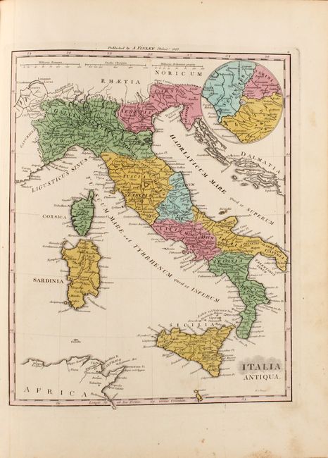
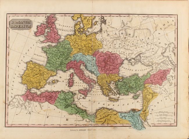
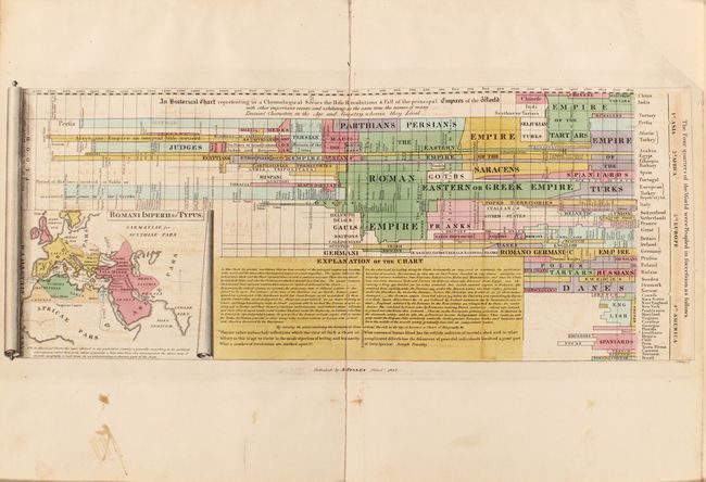
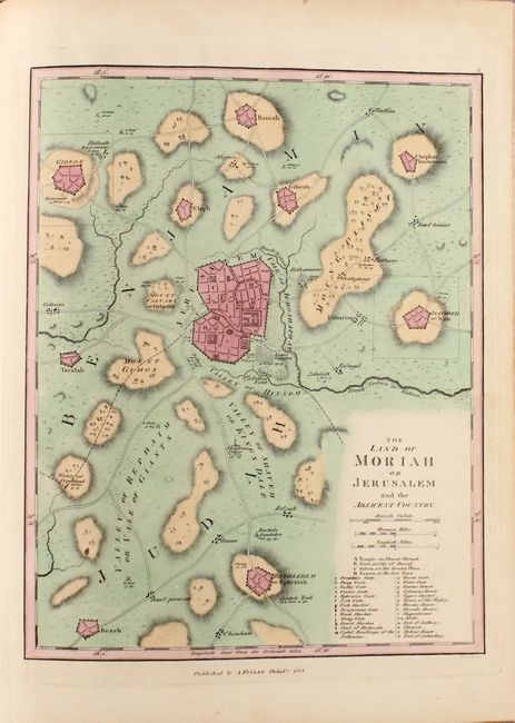
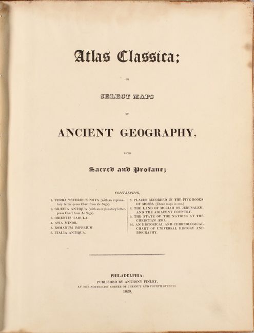
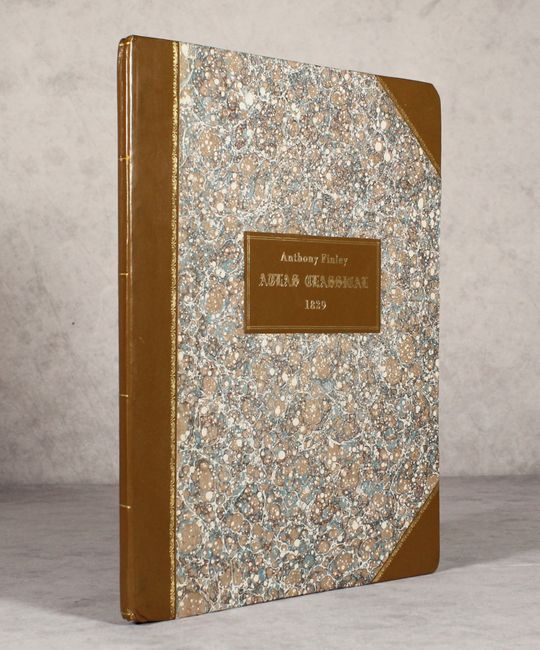
This complete historical atlas contains a title page, 9 maps, and a chronological history of the rise and fall of "Empires of the World" with a small inset map titled "Romani Imperii &c Typus." Includes a double-page map of the Roman Empire, and nice single page maps of ancient Italy, Greece, and Jerusalem. Rebound in quarter leather and tips over marbled boards with title label on the front cover.
References: Phillips (Atlases) #14.
Condition: B+
The maps range from good to near fine with occasional foxing and minor staining. The map of the Roman Empire has some offsetting and a long centerfold separation that has been closed with archival tape on both recto and verso. The thematic chart also has some offsetting and an edge chip confined to the top right margin that has been replaced with paper. New binding is near fine with bumped corners.