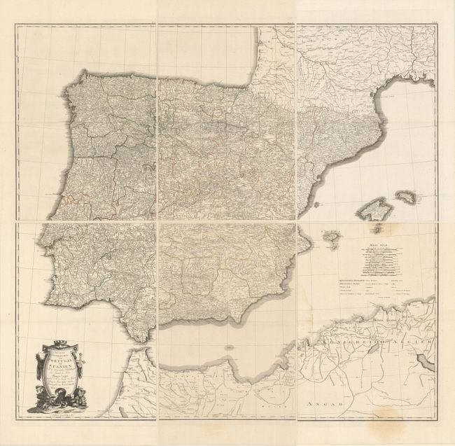
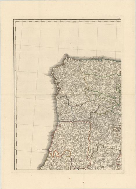
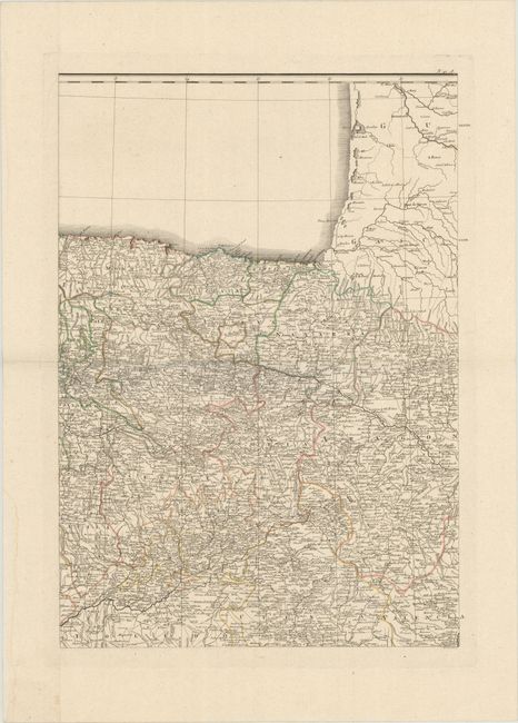
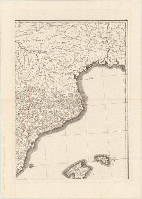
Subject: Spain & Portugal
Period: 1790 (dated)
Publication: Allgemeiner Grosser Atlass
Color: Hand Color
Size:
18.6 x 26.1 inches
47.2 x 66.3 cm
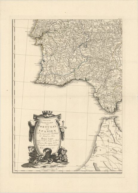
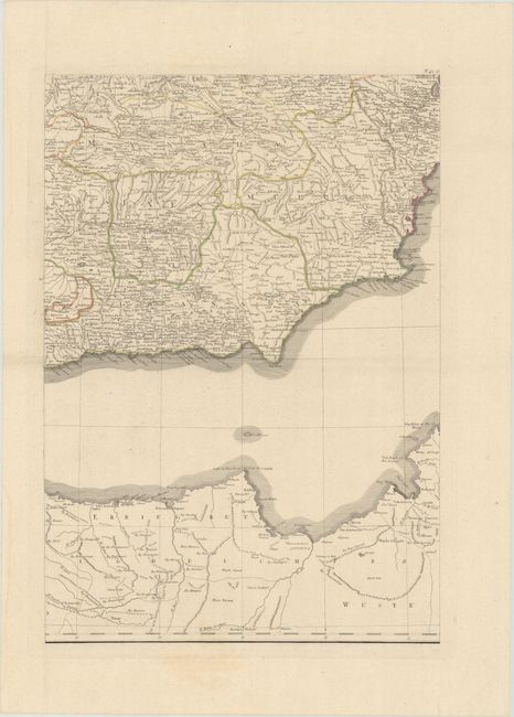
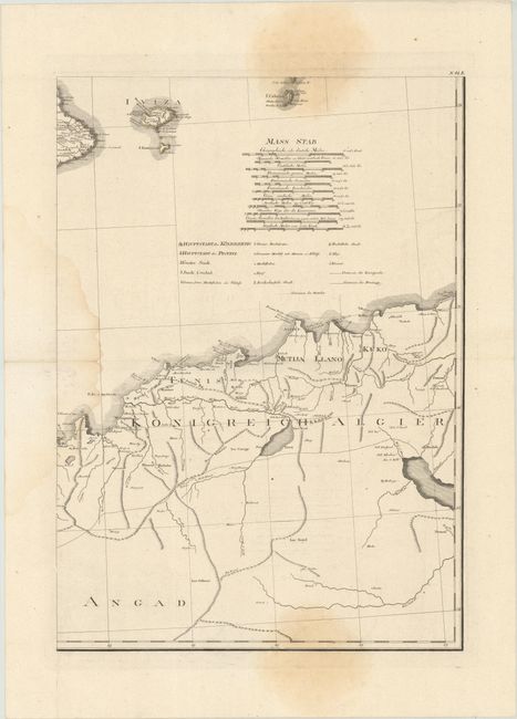
This handsome and exquisitely detailed six-sheet map of Spain and Portugal was published in Schraembl's oversized atlas. The map is based on the up-to-date cartography of Tomas Lopez, the Royal Geographer to King Charles III and the foremost Spanish cartographer of his era. It delineates provinces and roads and names numerous towns and cities. There is good topographical details of mountains and rivers. The map extends to show the Balearic Islands as well as parts of Northwestern Africa. The southeastern sheet includes 11 distance scales and a key identifying capitals, cities large and small, market towns, villages, borders, and more. An ornate title cartouche appears on the southwestern sheet.
References: cf. Phillips (Atlases) #694-23a-f.
Condition:
Sharp impressions with contemporary outline color on sheets with wide margins. There are three large light damp stains in the map image of the southeastern sheet (B+), and four of the five other sheets have damp stains confined to the left blank margin (A). The first image is a composite image - the map is in six separate sheets.