Subject: Europe, World War I
Period: 1914 (published)
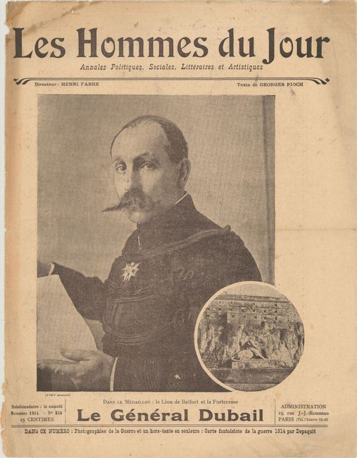
Publication: Les Hommes du Jour
Color: Printed Color
Size:
10.3 x 8.6 inches
26.2 x 21.8 cm
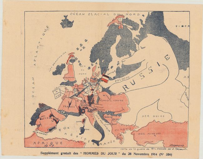
This unusual political caricature map of Europe depicts the continent at the outbreak of World War I, or as it was called at the time the Great War. Russia is depicted as a dog with its paws on Germany (a soldier) and the Austro-Hungarian Empire (a rabbit). France is depicted as Lady Liberty holding the droits de l'homme (human rights), and Britain appears to be throwing little airplanes at mainland Europe. Several other countries are humorously drawn including Sweden and Norway watching the action from afar with binoculars. The map, drawn by Jules Depaquit, was issued as a supplement to the November 1914 edition of Les Hommes du Jour, and contains 8 pages of text and illustrations in addition to the map. Depaquit (1869-1924) was a French illustrator who worked for a number of satirical journals at the beginning of the 20th century. In addition to his famous caricatures, Depaquit is famous for being the first mayor of the Free Commune of Montmartre, which was created to support and promote local artists.
Although the human personification of continents and countries can be seen as early as the 14th century (on maps by Opicinus de Canestris), human and animal metaphors on maps reached a new level in Europe between 1845 and 1945 with political cartoon maps. The rise of these satirical maps reflected the momentous political and cultural changes that occurred during the time. Political leaders were caricaturized and European nations were given symbolic identities that lent humor and accessibility to the geographical map. Based on popular stereotypes, these visual representations even found their way into the classroom to help bring geography and politics to life. Original serio-comic maps are very scarce due to their ephemeral nature.
References:
Condition: B+
Minor toning with a few faint spots in the image. Newspaper text has light toning and moderate soiling.