Catalog Archive
Auction 176, Lot 264

"A Map Showing Points of Interest in Jamestown Williamsburg and Yorktown in Virginia",

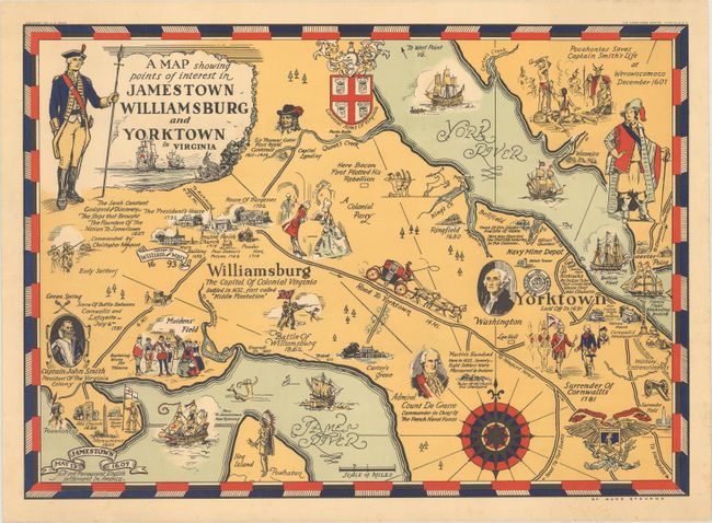
Subject: Eastern Virginia

Period: 1930 (dated)

Publication:

Color: Printed Color

Size:
19.3 x 13.7 inches
49 x 34.8 cm
Download High Resolution Image
(or just click on image to launch the Zoom viewer)

This pictorial map of eastern Virginia focuses on the rich history in the area. The colonial towns of Jamestown, Williamsburg, and Yorktown are shown prominently with depictions of important sites and buildings with numerous historical notes focusing on the colonial period. Key roads and waterways are shown and portraits and vignettes fill the remainder of the map. A charming map created by Hugo Stevens.

References: Rumsey #8374.

Condition: A

A hint of toning with minor marginal foxing and some light creasing along the edges of the sheet.

Estimate: $160 - $190

Sold for: $120

Closed on 2/12/2020

Archived