Catalog Archive
Auction 176, Lot 215

"[Lot of 2] Maryland [and] Baltimore", Bradford, Thomas Gamaliel
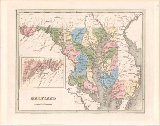
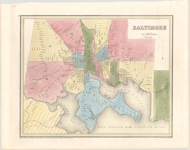
Subject: Maryland

Period: 1838 (dated)

Publication: A General Atlas of the World

Color: Hand Color

Size:
14.2 x 11.4 inches
36.1 x 29 cm
Download High Resolution Image
(or just click on image to launch the Zoom viewer)

An attractive pair of maps issued in Bradford's A General Atlas of the World. The state map shows counties, county seats, a canal along the Potomac River from Cumberland to Washington, and several early railroads including the Baltimore & Ohio and Baltimore & Susquehanna. Includes an inset of the western part of the state on the same scale. The map of the city of Baltimore is divided into 14 wards and names many streets. Locates the Fort McHenry, Green Mount Cemetery, City Hall, Cathedral, Center Market and many more. Both maps engraved by G.W. Boynton.

References:

Condition: A+

Nice impressions on clean, bright sheets.

Estimate: $140 - $170

Sold for: $100

Closed on 2/12/2020

Archived