Subject: World, Flight Maps
Period: 1960-65 (circa)
Publication:
Color: Printed Color
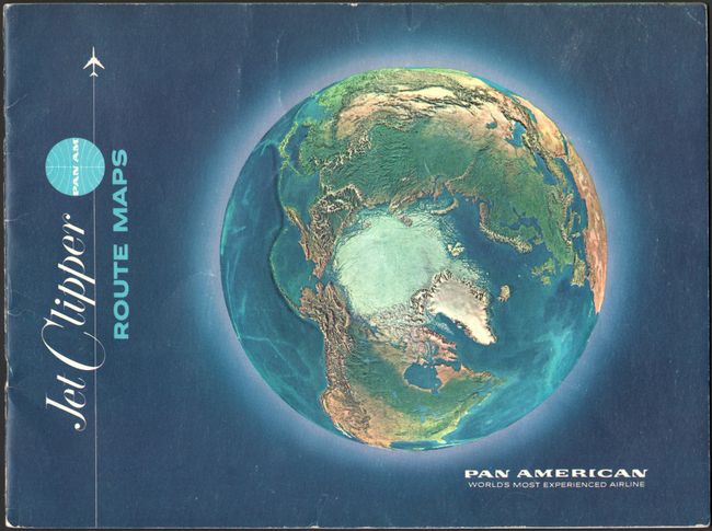
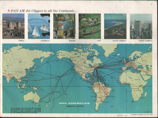
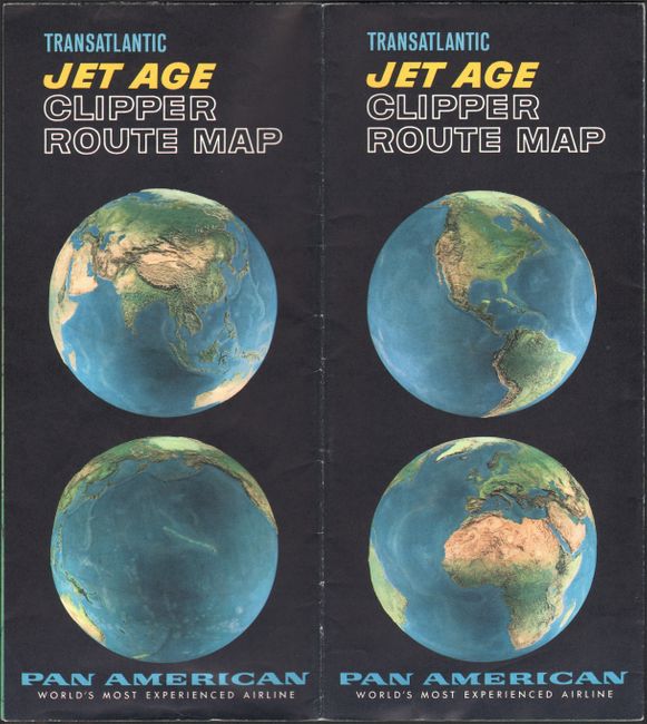
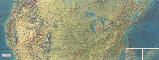
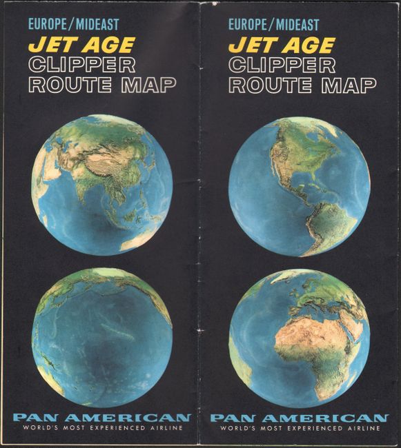
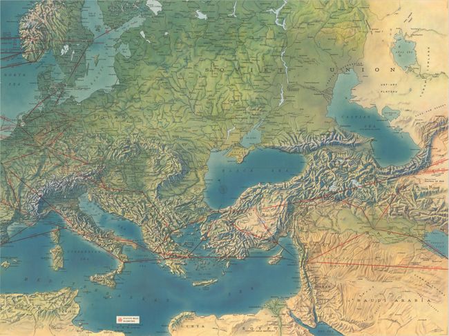
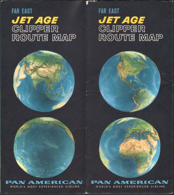
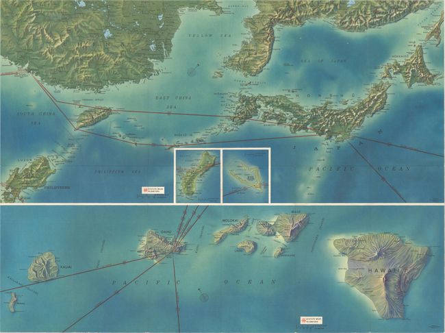
This lot includes four souvenir booklets that Rand McNally published for Pan American Airways System featuring relief maps that "create a realistic impression of the face of the earth as seen from aloft in your Pan Am Jet Clipper." The first booklet covers their routes all over the world through a series of regional maps. The other three items in the lot are part of a six-part series of terrain maps. The examples here highlight the Transatlantic, European and Middle Eastern, and Far Eastern routes. At the time of their publication, Pan Am's route complex spanned 70,000 miles, 114 cities in 80 countries on six continents.
A. Jet Clipper Route Maps, dated 1965 (12.0 x 9.0").
B. Transtlantic Jet Age Clipper Route Map, circa 1960 (24.0 x 18.0").
C. Europe/Mideast Jet Age Clipper Route Map, circa 1960 (24.0 x 18.0").
D. Far East Jet Age Clipper Route Map, circa 1960 (24.0 x 18.0").
References:
Condition: A
All the booklets have minor wear along the edges. The latter three booklets are issued folding and have a couple tiny splits on the fold intersections.