Subject: Central California
Period: 1912 (dated)
Publication:
Color: Black & White
Size:
23.4 x 24.5 inches
59.4 x 62.2 cm
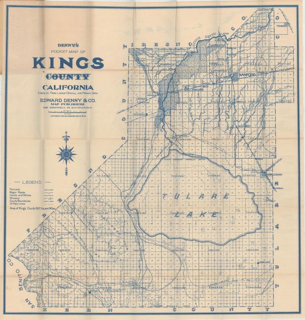
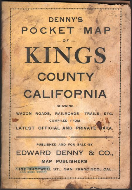
This pocket map of Kings County, California was published by Edward Denny & Co. in San Francisco. Printed in blue ink, the map is divided into townships with a legend at left identifying railroads, wagon roads, canals, streams, and oil pipelines. Tulare Lake is prominently depicted at center with the original lake lines also noted. Its contraction was due to the diversion of streams/rivers for agricultural purposes. Prior to this development, Tulare Lake was the largest freshwater lake west of the Mississippi River. Folds into cream-colored paper wrappers (4.2 x 6").
References:
Condition: A
The map is near fine with a few tiny splits at the fold junctions. Wrappers are soiled and stained.