Subject: Mid-Atlantic United States
Period: 1822 (circa)
Publication: A Geographical Description of the United States…
Color: Black & White
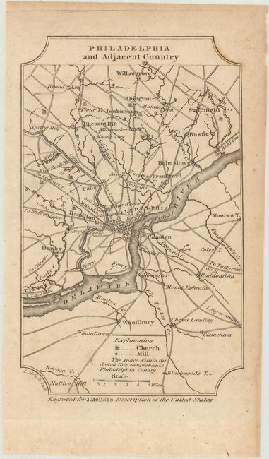
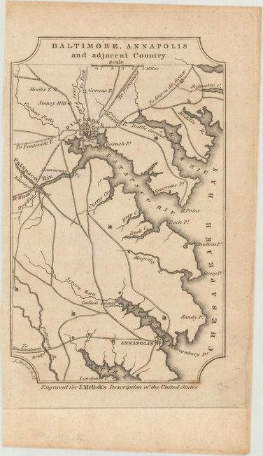
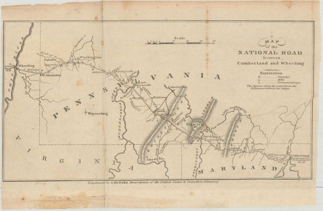
These small regional maps are from one of Melish's important early 19th century descriptions of the young United States. The maps focus on the transportation networks in major American cities and, in the last map in this lot, the National Road, the first major highway in the United States. John Melish was the first American publisher to concentrate on cartographic and geographic publications. Born in Scotland, Melish immigrated to Philadelphia in 1811. In 1812 he published Travels in the United States of America, which included his first maps. He soon came to dominate the industry in this country, and had a huge impact on all subsequent American map-making.
A. Philadelphia and Adjacent Country, (4.0 x 6.4").
B. Baltimore, Annapolis and Adjacent Country, (4.0 x 6.4").
C. Map of the National Road Between Cumberland and Wheeling, (11.1 x 5.7").
References: Howes #M-490; Sabin #47431.
Condition: B+
The maps are slightly toned with some light scattered foxing. The National Road map was issued folding.