Subject: North America
Period: 1796 (circa)
Publication:
Color: Hand Color
Size:
16.9 x 10.4 inches
42.9 x 26.4 cm
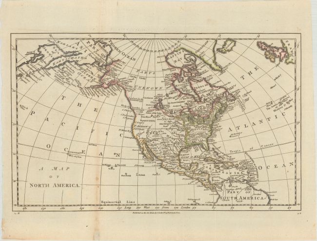
This map of North America emphasizes the discoveries in the Pacific Northwest and Alaska. Alaska is still a bit misshapen but Capt. Cook's discoveries are shown and there is good detail of the Aleutian Islands and the coast of Asia. Northern Canada is marked Parts Unknown and northern California is New Albion. New Mexico encompasses present-day Louisiana and Texas. Georgia, South Carolina, North Carolina, and Virginia all extend to the Mississippi River.
References:
Condition: B+
Issued folding on watermarked paper dated 1796. There is some light toning and a few small spots adjacent to the left fold.