Subject: Atlases
Period: 1818 (published)
Publication:
Color: Hand Color
Size:
20.5 x 15.7 inches
52.1 x 39.9 cm
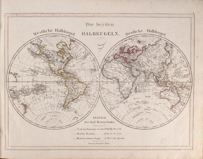
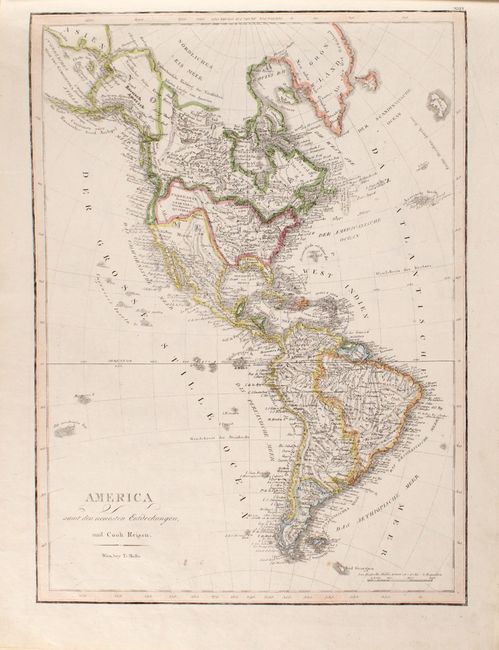
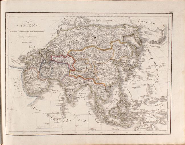
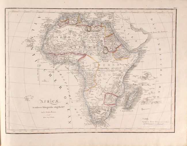
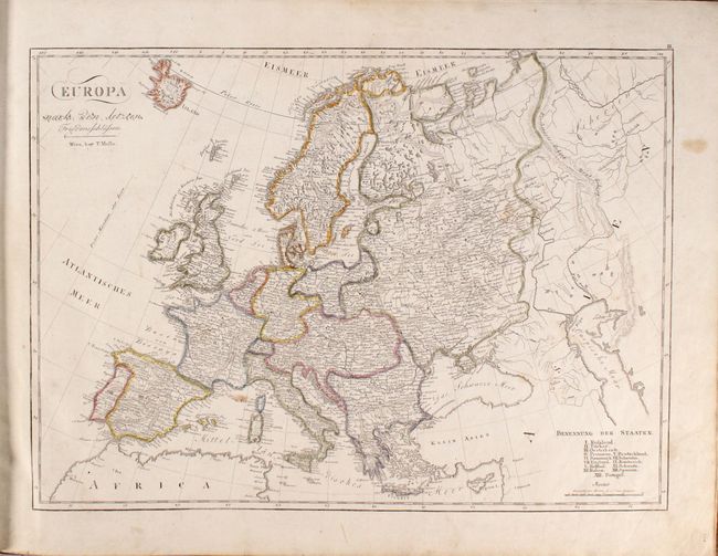
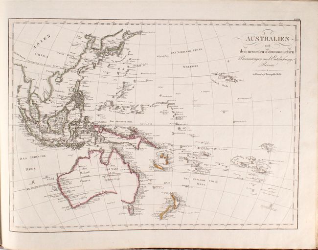
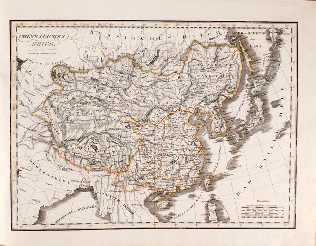
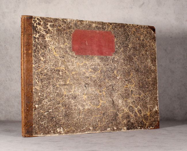
This Austrian school atlas is complete with 42 single-page maps of the world, continents, and regional maps. The table of contents only calls for 40 maps, and the two additional maps are of the Gulf of Mexico & Caribbean and of Eastern Asia. Included are 2 world maps, 4 continent maps (Europe, Asia, Africa, Americas), 30 regional maps of Europe, 4 regional maps of Asia, a map of the South Pacific Ocean & Australia, and the map of the Gulf of Mexico & Caribbean. The double-hemisphere world map focuses on the discoveries of Captain Cook's three voyages, which are traced throughout the map. The map of the western hemisphere is filled with place names and topography and shows an unusual border between the United States and Canada, with the United States extending well into Canada. Spanish possessions of Florida and Mexico also show odd boundaries with the United States. The map of the South Pacific shows no detail within the interior of Australia and an incomplete coastline in the south. Oblong folio, hardbound in quarter leather with tips over marbled paper-covered boards.
References:
Condition: B+
The maps are mostly clean and bright with original outline color. There is occasional soiling and old notations, most notably on the map of Germany. The covers and spine are well worn with some chips and abrasions.