Catalog Archive
Auction 175, Lot 440

"Germaniae Nova et Accurata Delineatio...", Hondius, Henricus

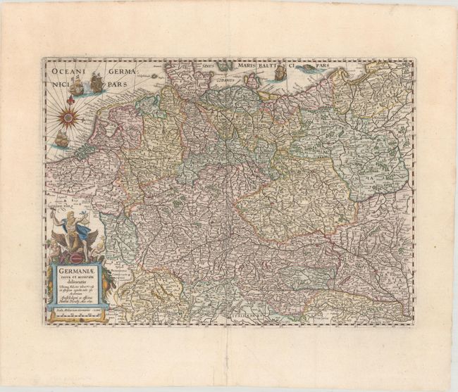
Subject: Central Europe, Germany

Period: 1631 (dated)

Publication: Atlas Novus

Color: Hand Color

Size:
18.8 x 13.6 inches
47.8 x 34.5 cm
Download High Resolution Image
(or just click on image to launch the Zoom viewer)

This map of the German Empire covers present-day Germany, Poland, Netherlands, Belgium, Switzerland, Austria, Czech Republic and parts of Poland and Hungary. The map is densely engraved with information and decorated with sailing ships, a compass rose, and a title cartouche featuring a figure representing industry sitting astride an eagle. Latin text on verso, published in 1638.

References: Van der Krogt (Vol. I) #2000:1D.1.

Condition: A

A bright sheet with archival repairs to several minor separations along the centerfold and a couple of tears confined to the bottom blank margin.

Estimate: $240 - $300

Sold for: $150

Closed on 11/13/2019

Archived